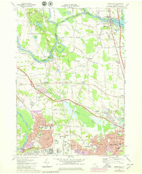
1973 Map of Brewerton
USGS Topo · Published 1979About this map
Fort Brewerton State Park stands at the strategic confluence of Oneida Lake and the Oneida River, marking a historic crossing point that defines this central New York corridor. The landscape is a complex network of waterways, featuring the Erie Canal and engineered diversions like Anthony Cut and Morgan Cut. These water routes facilitated early transport and industry, shaping the growth of Brewerton and Oak Orchard.
Find a feature on this map
110 named features on this map. Tap any name to fly to it.
Don’t see what you’re looking for? This feature index may not catch every label — zoom into the map to look around manually.
Map Details
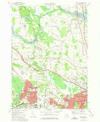
Editions of this 1973 Brewerton Map
2 editions found
Other maps of this area

1895 · Syracuse
USGS Topo · 1:62,500

1898 · Syracuse
USGS Topo · 1:62,500

1900 · Baldwinsville
USGS Topo · 1:62,500

1900 · Fulton
USGS Topo · 1:62,500

1905 · Mexico
USGS Topo · 1:62,500

1938 · Syracuse East
USGS Topo · 1:24,000

1939 · Syracuse West
USGS Topo · 1:24,000

1940 · Brewerton
USGS Topo · 1:24,000

1940 · Cicero
USGS Topo · 1:24,000
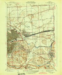
1943 · Syracuse East
USGS Topo · 1:31,680