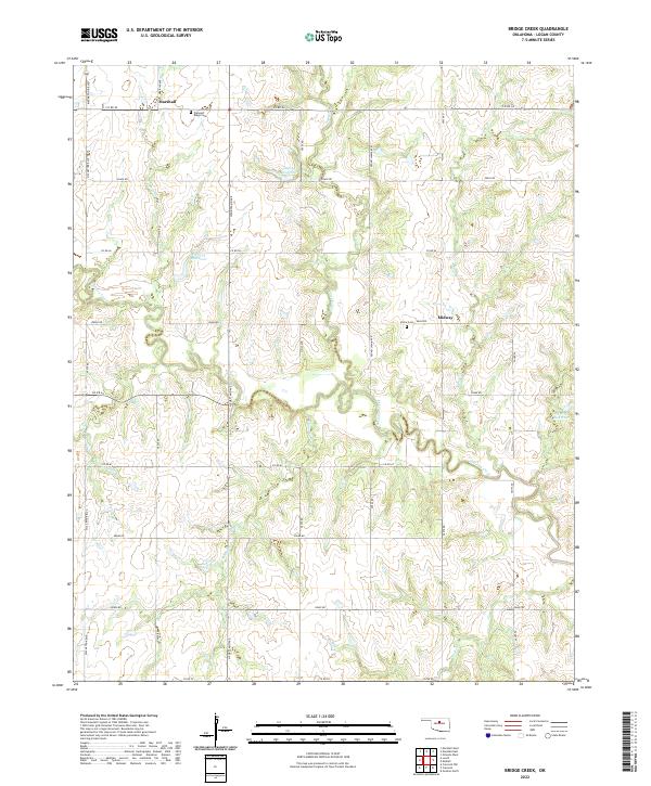
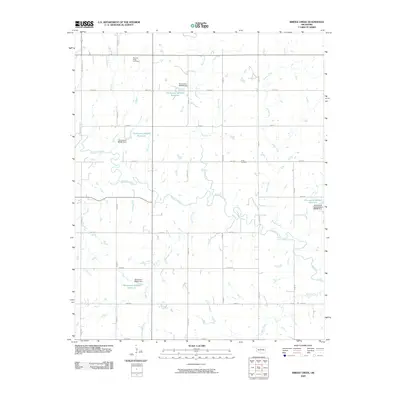
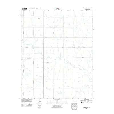
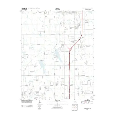
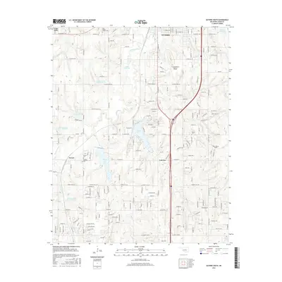
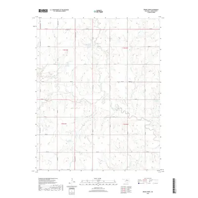
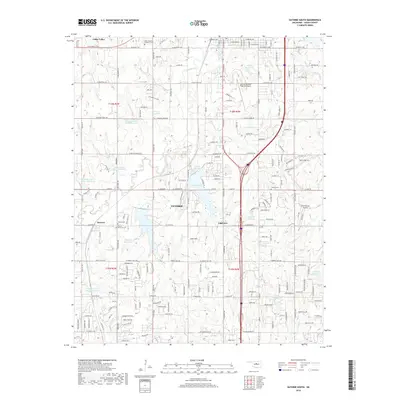
2022 Map of Bridge Creek
USGS Topo · Published 2022About this map
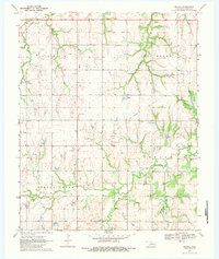
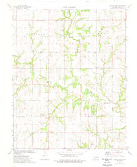
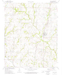
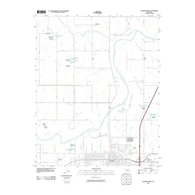
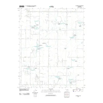
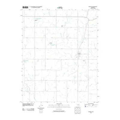
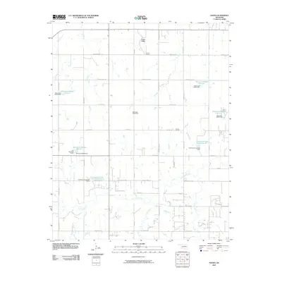
Marshall occupies the northwestern corner of this Logan County landscape, situated at the intersection of MacArthur Blvd and Co Rd 62. The terrain is defined by a dense network of dendritic drainage systems, most notably Skeleton Creek and Otter Creek, which carve through the plains. The rural character of the region is punctuated by small community anchors like Midway and quiet burial grounds such as Pleasant Ridge Cem and Victor Cem.
Find a feature on this map
33 named features on this map. Tap any name to fly to it.
Don’t see what you’re looking for? This feature index may not catch every label — zoom into the map to look around manually.
Map Details
Editions of this 2022 Bridge Creek Map
This is the sole edition of this map. No revisions or reprints were ever made.
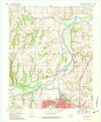
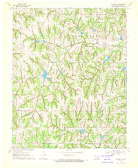
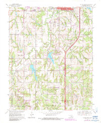
Historical Maps of Midway Through Time
37 maps found
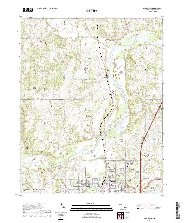
1970 Guthrie North
Logan County, OK
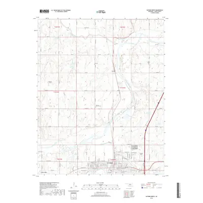
1970 Guthrie SE
Logan County, OK
1970 Guthrie South
Logan County, OK
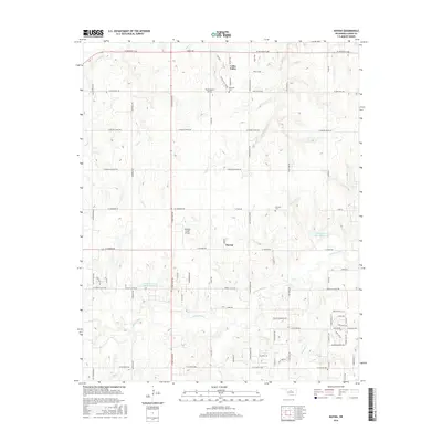
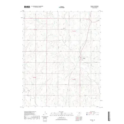
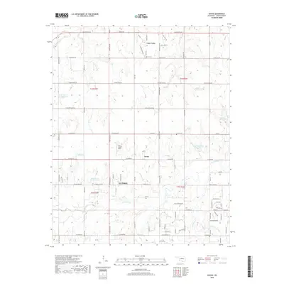
1970 Navina
Logan County, OK
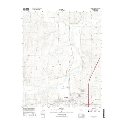
1974 Bridge Creek
Logan County, OK
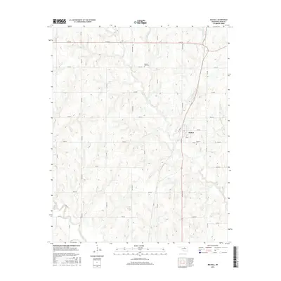
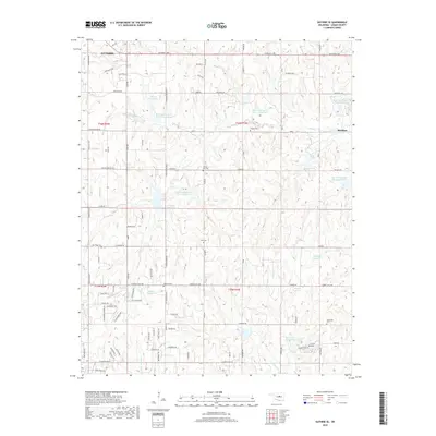
1974 Mulhall
Logan County, OK

1990 Oklahoma City North
Logan County, OK
2009 Bridge Creek
Logan County, OK
2009 Guthrie North
Logan County, OK
2009 Guthrie SE
Logan County, OK
2009 Mulhall
Logan County, OK
2009 Navina
Logan County, OK
2010 Guthrie South
Logan County, OK
2012 Bridge Creek
Logan County, OK
2012 Guthrie North
Logan County, OK
2012 Guthrie SE
Logan County, OK
2012 Guthrie South
Logan County, OK
2012 Mulhall
Logan County, OK
2012 Navina
Logan County, OK
2016 Bridge Creek
Logan County, OK
2016 Guthrie North
Logan County, OK
2016 Guthrie SE
Logan County, OK
2016 Guthrie South
Logan County, OK
2016 Mulhall
Logan County, OK
2016 Navina
Logan County, OK
2018 Bridge Creek
Logan County, OK
2018 Guthrie North
Logan County, OK
2018 Guthrie SE
Logan County, OK
2018 Guthrie South
Logan County, OK
2018 Mulhall
Logan County, OK
2018 Navina
Logan County, OK
2022 Bridge Creek
Logan County, OK
2022 Guthrie North
Logan County, OK
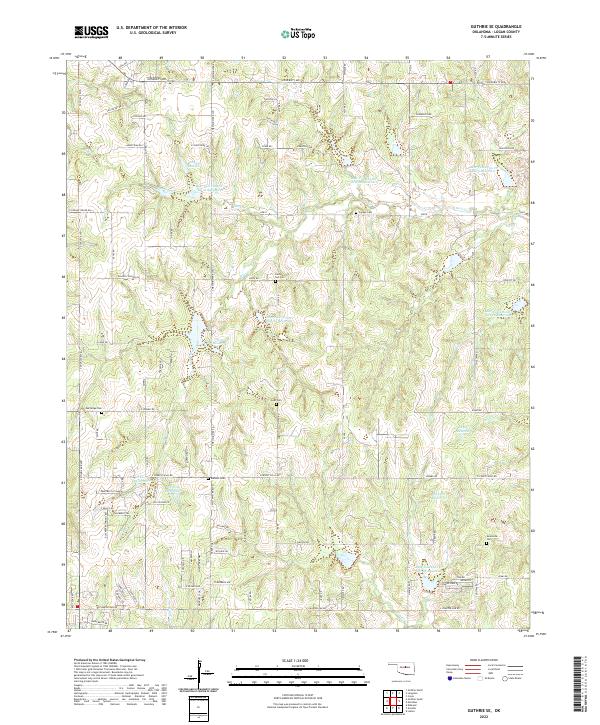
2022 Guthrie SE
Logan County, OK
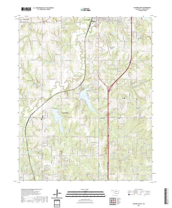
2022 Guthrie South
Logan County, OK
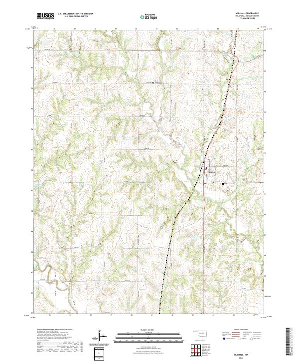
2022 Mulhall
Logan County, OK
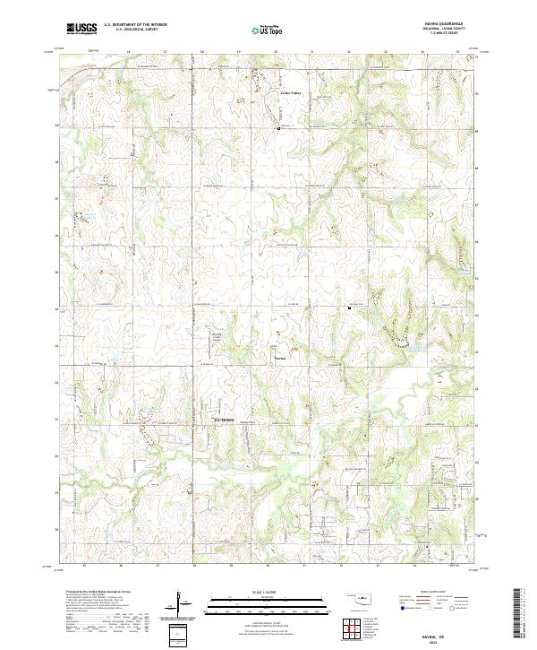
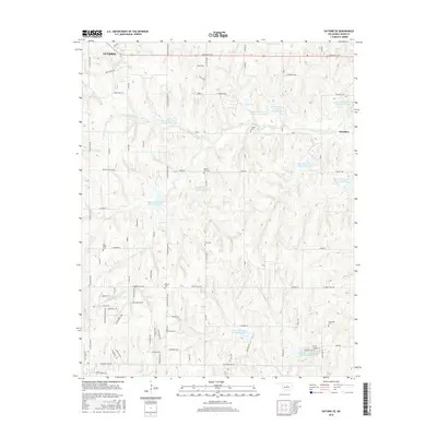
2022 Navina
Logan County, OK