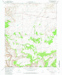
1981 Map of Bridger Point
USGS Topo · Published 1982About this map
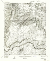
Bridger Point rises as a prominent landmark along the southern border of Kane County in the early 1980s. This survey, compiled from 1970s aerial photography, documents a complex landscape of dramatic erosional features where the Utah-Arizona state line divides the high mesas. To the north, the broad expanse of East Clark Bench is punctuated by Church Well and a small Trailer Park, while the southern reaches drop into the labyrinthine depths of Paria River Canyon and Buckskin Gulch. The map records a sparse human imprint, limited primarily to a Jeep Trail and a Radio Tower, reflecting the arid and demanding nature of the terrain between The Rimrocks and the elevated plateau of Flat Top.
Find a feature on this map
20 named features on this map. Tap any name to fly to it.
Don’t see what you’re looking for? This feature index may not catch every label — zoom into the map to look around manually.
Map Details
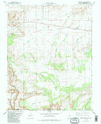
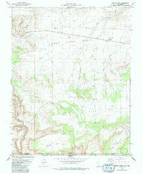
Editions of this 1981 Bridger Point Map
3 editions found
Other maps of this area

1886 · Escalante
USGS Topo · 1:250,000

1886 · Echo Cliffs
USGS Topo · 1:250,000

1891 · Echo Cliffs
USGS Topo · 1:250,000

1953 · Nipple Butte
USGS Topo · 1:62,500

1954 · Lees Ferry NW
USGS Topo · 1:24,000

1954 · Paria Plateau NW
USGS Topo · 1:24,000

1954 · Paria NW
USGS Topo · 1:24,000

1954 · Lees Ferry
USGS Topo · 1:62,500
1954 · Paria Plateau
USGS Topo · 1:62,500
1954 · Paria SW
USGS Topo · 1:24,000