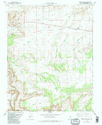
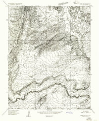
1981 Map of Bridger Point
USGS Topo · Published 1991About this map
East Clark Bench dominates the center of this 1981 survey, illustrating a remote stretch of the desert landscape along the border of Utah and Arizona. The terrain transition is marked by dramatic geological features like The Rimrocks to the north and the deep incisions of Paria River Canyon and Buckskin Gulch to the southwest. This map records the minimal human footprint of the era, consisting primarily of utility-focused sites and transit infrastructure.
Find a feature on this map
20 named features on this map. Tap any name to fly to it.
Don’t see what you’re looking for? This feature index may not catch every label — zoom into the map to look around manually.
Map Details
Editions of this 1981 Bridger Point Map
3 editions found
Other maps of this area

1886 · Escalante
USGS Topo · 1:250,000

1886 · Echo Cliffs
USGS Topo · 1:250,000

1891 · Echo Cliffs
USGS Topo · 1:250,000

1953 · Nipple Butte
USGS Topo · 1:62,500

1954 · Lees Ferry NW
USGS Topo · 1:24,000

1954 · Paria Plateau NW
USGS Topo · 1:24,000

1954 · Paria NW
USGS Topo · 1:24,000

1954 · Lees Ferry
USGS Topo · 1:62,500
1954 · Paria Plateau
USGS Topo · 1:62,500
1954 · Paria SW
USGS Topo · 1:24,000