
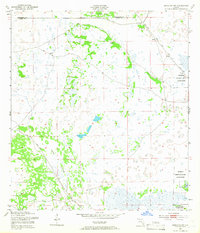
1953 Map of Brighton SW
USGS Topo · Published 1954About this map
The Brighton Seminole Indian Reservation occupies the eastern portions of this mid-century survey, illustrating a landscape defined by intricate drainage and subtropical wetlands. Situated along the boundary shared by Highlands and Glades Counties, the terrain is marked by a complex network of seasonal water features and man-made alterations. The Harney Pond Canal cuts through the northeast, accompanied by spoil banks that indicate significant water management efforts in the region. To the south, the winding path of Gator Slough flows through the marshes, while isolated topographic rises like Cabbage Island provide rare dry ground. The presence of a lone Windmill in the northern sections speaks to the agricultural or ranching utility of this interior Florida wilderness during the early 1950s.
Find a feature on this map
6 named features on this map. Tap any name to fly to it.
Don’t see what you’re looking for? This feature index may not catch every label — zoom into the map to look around manually.
Map Details
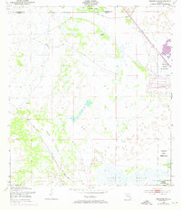
Editions of this 1953 Brighton SW Map
3 editions found
Other maps of this area

1953 · Brighton NW
USGS Topo · 1:24,000

1953 · Brighton
USGS Topo · 1:24,000

1953 · Brighton SE
USGS Topo · 1:24,000

1953 · Childs
USGS Topo · 1:24,000

1956 · West Palm Beach
USGS Topo · 1:250,000

1956 · Fort Pierce
USGS Topo · 1:250,000

1957 · West Palm Beach
USGS Topo · 1:250,000

1957 · Venus
USGS Topo · 1:24,000

1958 · Fort Pierce
USGS Topo · 1:250,000

1958 · West Palm Beach
USGS Topo · 1:250,000