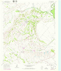
1962 Map of Bristol
USGS Topo · Published 1979About this map
The farming community of Bristol sits at the center of this landscape, positioned on the elevated ground between the Trinity River to the east and a network of winding tributaries to the west. This late-1970s record, updated from earlier surveys, reveals the enduring rural character of eastern Ellis County. The topography is defined by the drainage patterns of Red Oak Creek and Grove Creek, which carve into the rolling terrain. Local history is anchored by several country churches and family burial grounds, including Zion Ch, Weavers Chapel, and the Onion Hill Cem. To the south, the settlements of Alsdorf and Crisp are connected by an Old Railroad Grade, tracing a former transport corridor through the blackland prairie. This infrastructure, alongside the prominent Pipeline corridors, highlights the transition from rail-dependent agriculture to more modern utility and energy networks.
Find a feature on this map
27 named features on this map. Tap any name to fly to it.
Don’t see what you’re looking for? This feature index may not catch every label — zoom into the map to look around manually.
Map Details
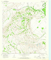
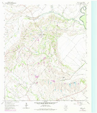
Editions of this 1962 Bristol Map
Other maps of this area

1891 · Dallas
USGS Topo · 1:125,000

1893 · Dallas
USGS Topo · 1:125,000

1954 · Dallas
USGS Topo · 1:250,000

1956 · Ennis
USGS Topo · 1:62,500

1956 · Kaufman
USGS Topo · 1:62,500

1958 · Dallas
USGS Topo · 1:250,000

1959 · Ferris
USGS Topo · 1:24,000

1959 · India
USGS Topo · 1:24,000

1959 · Seagoville
USGS Topo · 1:62,500

1962 · Ennis West
USGS Topo · 1:24,000