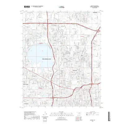
1951 Map of Britton
USGS Topo · Published 1976About this map
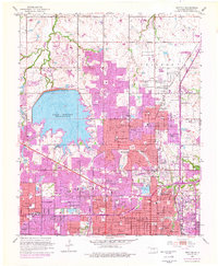
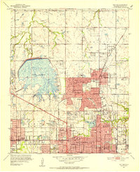
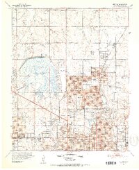
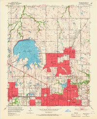
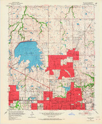
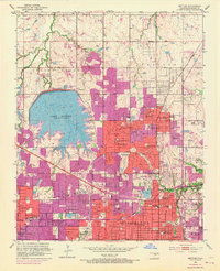
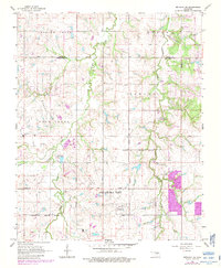
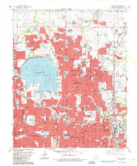
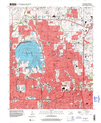
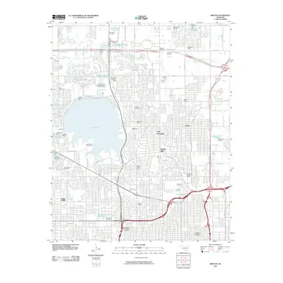
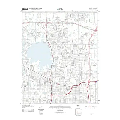
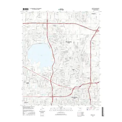
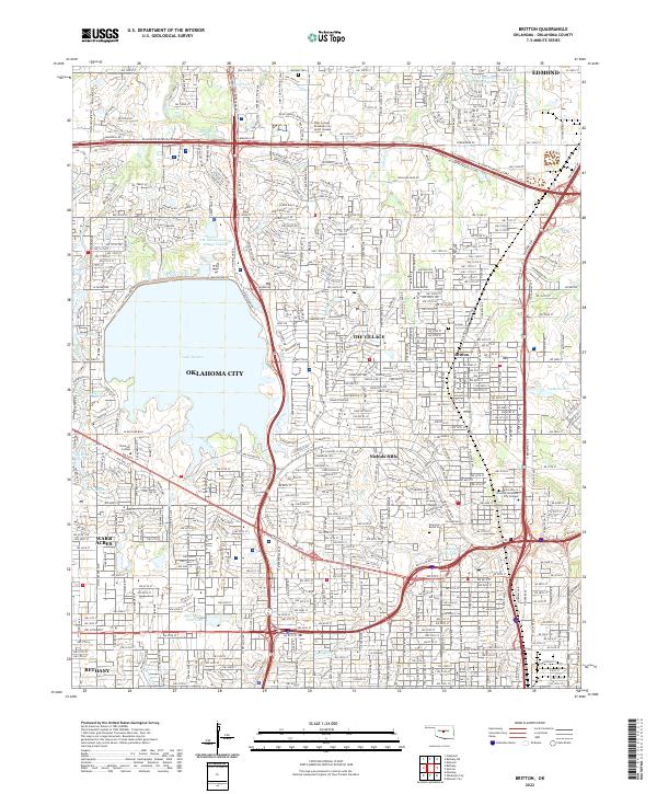
Lake Hefner dominates the western landscape of this mid-century survey, its detailed underwater contours provided by the Water Resources Division. The map documents the post-war suburban expansion of Oklahoma City, particularly visible in the growth of The Village and Nichols Hills. Purple photorevisions from the mid-1970s illustrate the rapid filling of the grid between established centers like Britton and Warr Acres.
Find a feature on this map
75 named features on this map. Tap any name to fly to it.
Don’t see what you’re looking for? This feature index may not catch every label — zoom into the map to look around manually.
Map Details
Editions of this 1951 Britton Map
6 editions found
Historical Maps of Oklahoma City Through Time
21 maps found
1934 Crutcho Creek
Oklahoma County, OK
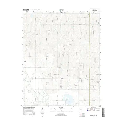
1951 Britton
Oklahoma County, OK
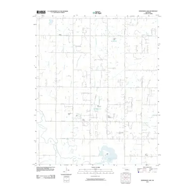
1956 Horseshoe Lake
Oklahoma County, OK
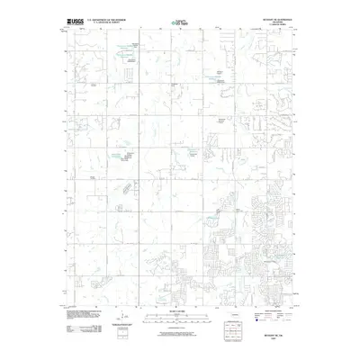
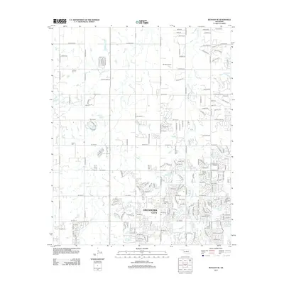
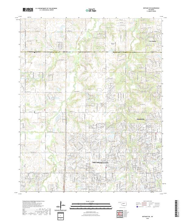
1966 Bethany NE
Oklahoma County, OK
1986 Britton
Oklahoma County, OK
1995 Britton
Oklahoma County, OK
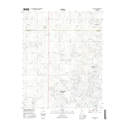
2009 Bethany NE
Oklahoma County, OK
2010 Britton
Oklahoma County, OK
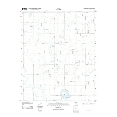
2010 Horseshoe Lake
Oklahoma County, OK
2012 Bethany NE
Oklahoma County, OK
2012 Britton
Oklahoma County, OK
2013 Horseshoe Lake
Oklahoma County, OK
2016 Bethany NE
Oklahoma County, OK
2016 Britton
Oklahoma County, OK
2016 Horseshoe Lake
Oklahoma County, OK
2018 Bethany NE
Oklahoma County, OK
2018 Britton
Oklahoma County, OK
2018 Horseshoe Lake
Oklahoma County, OK
2022 Bethany NE
Oklahoma County, OK
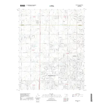
2022 Britton
Oklahoma County, OK
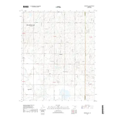
2022 Horseshoe Lake
Oklahoma County, OK