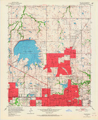
1951 Map of Britton
USGS Topo · Published 1967About this map
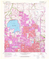
Lake Hefner dominates the western half of this 1951 survey, its basin detailed with underwater contours while an Intake Tower and Waterworks stand along the shoreline. This era marks a significant period of suburban expansion north of Oklahoma City, with the distinct incorporated limits of The Village, Nichols Hills, and Warr Acres showing a landscape transitioning from rural sections to planned residential developments. The area's social infrastructure is densely mapped, featuring numerous educational and religious sites such as Casady Sch, the Baptist Orphanage, and Linn Ave Ch.
Find a feature on this map
70 named features on this map. Tap any name to fly to it.
Don’t see what you’re looking for? This feature index may not catch every label — zoom into the map to look around manually.
Map Details
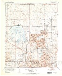
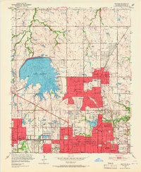
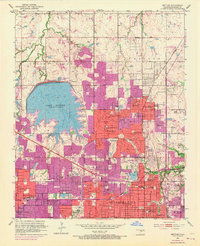
Editions of this 1951 Britton Map
6 editions found

Other maps of this area

1892 · Moore
USGS Topo · 1:62,500

1892 · Edmond
USGS Topo · 1:62,500

1892 · Kingfisher
USGS Topo · 1:125,000

1893 · Oklahoma City
USGS Topo · 1:62,500

1895 · Kingfisher
USGS Topo · 1:125,000

1898 · Purcell
USGS Topo · 1:125,000

1904 · Chickasha
USGS Topo · 1:125,000

1934 · Crutcho Creek
USGS Topo · 1:24,000

1934 · Moore
USGS Topo · 1:62,500

1935 · Spencer
USGS Topo · 1:24,000