
1893 Map of Brodhead
USGS Topo · Published 1893About this map
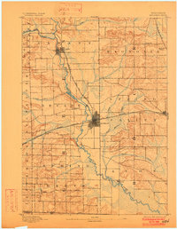
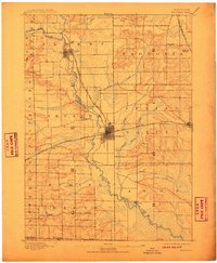
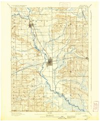
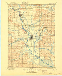
The Sugar River and its major tributary, the Little Sugar River, anchor this late nineteenth-century portrait of Green and Rock Counties. The region is defined by a dense network of early settlements and the critical infrastructure of the Chicago Milwaukee and Saint Paul Railroad, which intersects at the growing hub of Brodhead. The map reveals the relationship between water and early commerce, with the river meandering through Albany and past the wetland of Taylor Marsh.
Find a feature on this map
29 named features on this map. Tap any name to fly to it.
Don’t see what you’re looking for? This feature index may not catch every label — zoom into the map to look around manually.
Map Details
Editions of this 1893 Brodhead Map
5 editions found
Other maps of this area

1889 · Evansville
USGS Topo · 1:62,500

1890 · Stoughton
USGS Topo · 1:62,500

1891 · Janesville
USGS Topo · 1:62,500

1893 · Janesville
USGS Topo · 1:62,500

1894 · Evansville
USGS Topo · 1:62,500

1906 · Evansville
USGS Topo · 1:62,500

1918 · Rockford
USGS Topo · 1:62,500

1920 · Monroe
USGS Topo · 1:62,500

1922 · Monroe
USGS Topo · 1:62,500

1923 · New Glarus
USGS Topo · 1:62,500