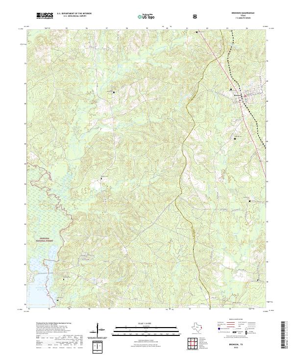
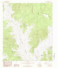
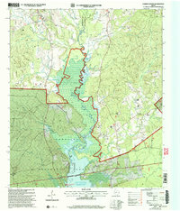
2022 Map of Bronson
USGS Topo · Published 2022This historical map portrays the area of Bronson in 2022, primarily covering San Augustine County as well as portions of Sabine County. Featuring a scale of 1:24000, this map provides a highly detailed snapshot of the terrain, roads, buildings, counties, and historical landmarks in the Bronson region at the time. Published in 2022, it is the sole known edition of this map.
Map Details
Editions of this 2022 Bronson Map
This is the sole edition of this map. No revisions or reprints were ever made.
Historical Maps of Blue Springs Through Time
28 maps found
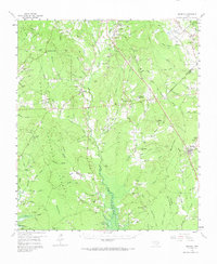
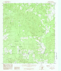
1958 Bronson
San Augustine County, TX
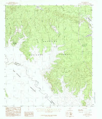
1958 Mc Gee Bend
San Augustine County, TX
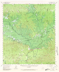
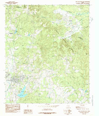
1984 Bronson
San Augustine County, TX
1984 Buck Bay
San Augustine County, TX
1984 Chinquapin
San Augustine County, TX
1984 Chireno North
San Augustine County, TX
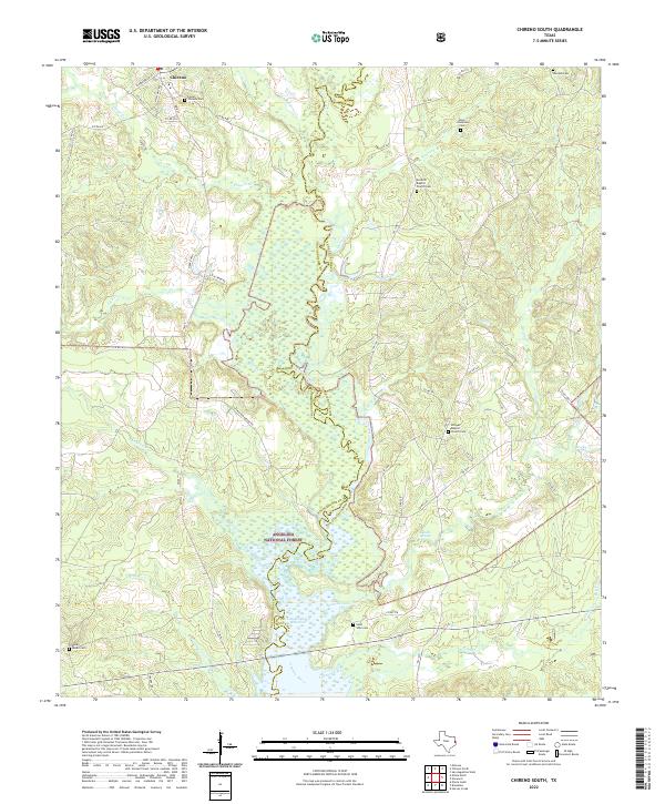
1984 Chireno South
San Augustine County, TX

1984 Harvey Creek
San Augustine County, TX
1984 Norwood
San Augustine County, TX
1984 San Augustine East
San Augustine County, TX
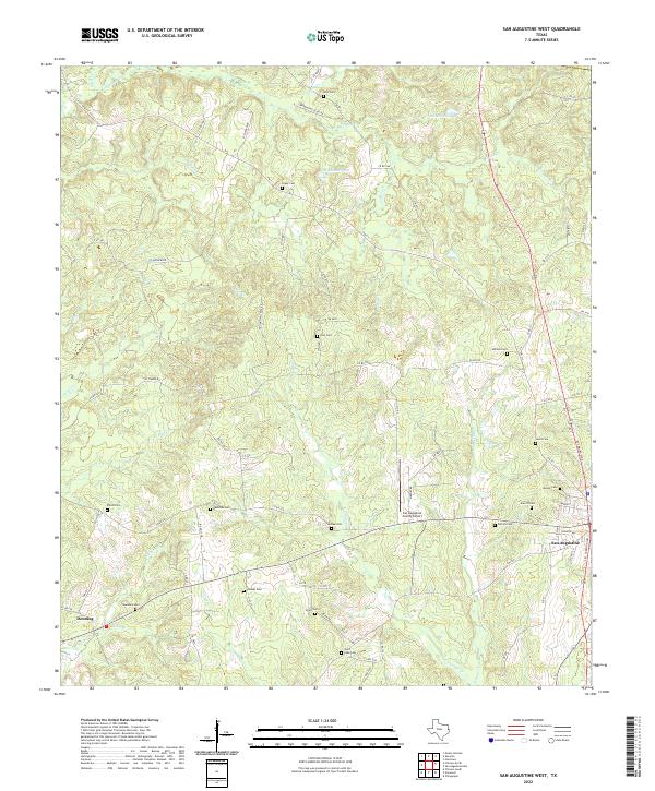
1984 San Augustine West
San Augustine County, TX
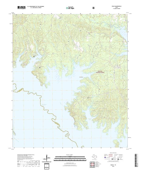
1984 Veach
San Augustine County, TX
2003 Buck Bay
San Augustine County, TX
2003 Chireno South
San Augustine County, TX
2003 Harvey Creek
San Augustine County, TX
2003 Norwood
San Augustine County, TX
2003 San Augustine East
San Augustine County, TX

2003 Veach
San Augustine County, TX
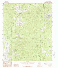
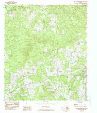
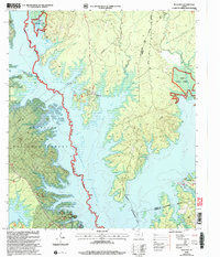
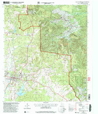
2022 Bronson
San Augustine County, TX
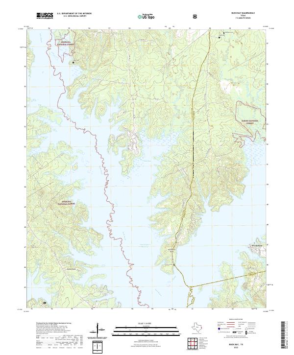
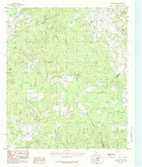
2022 Buck Bay
San Augustine County, TX
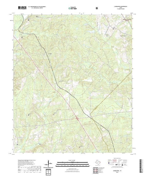
2022 Chinquapin
San Augustine County, TX
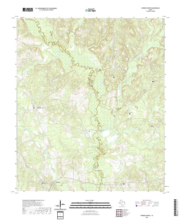
2022 Chireno North
San Augustine County, TX
2022 Chireno South
San Augustine County, TX
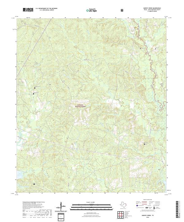
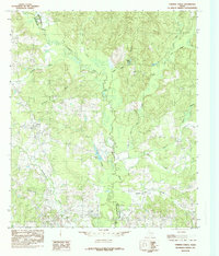
2022 Harvey Creek
San Augustine County, TX
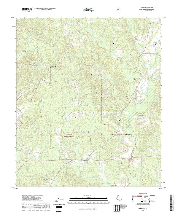
2022 Norwood
San Augustine County, TX
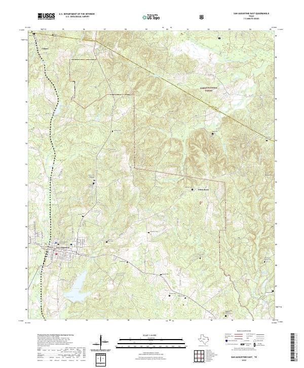
2022 San Augustine East
San Augustine County, TX
2022 San Augustine West
San Augustine County, TX
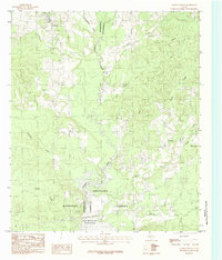
2022 Veach
San Augustine County, TX