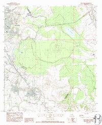
1983 Map of Broussard
USGS Topo · Published 1983About this map
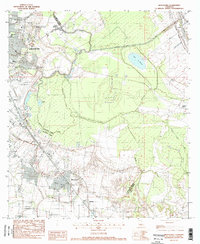
The Vermilion River and Bayou Teche anchor this detailed study of south-central Louisiana, where the expanding city of Lafayette meets the traditional agricultural and rail corridors of the Acadiana region. The Southern Pacific railroad line cuts a diagonal path through the landscape, linking the urban center to the town of Broussard and smaller settlements like Billeaud and Poches. This era of the early 1980s captures the transition between historic parish land divisions and modern infrastructure, evidenced by the Lafayette Regional Airport and the complex system of drainage such as the Evangeline Canal and Ruth Canal. Significant cultural landmarks, including the Holy Rosary Institute and Breaux High Sch, provide important touchstones for local genealogy. The map also delineates the meandering Bayou Tortue and the distinctive swampy terrain of Cypress Island, illustrating the persistent influence of the natural hydrology on the local settlement pattern.
Find a feature on this map
30 named features on this map. Tap any name to fly to it.
Don’t see what you’re looking for? This feature index may not catch every label — zoom into the map to look around manually.
Map Details
Editions of this 1983 Broussard Map
2 editions found
Other maps of this area

1939 · St. Martinsville
USGS Topo · 1:62,500

1940 · Arnaudville
USGS Topo · 1:62,500

1946 · Milton
USGS Topo · 1:31,680

1946 · Lafayette
USGS Topo · 1:31,680

1952 · Lake Charles
USGS Topo · 1:250,000

1954 · Lafayette
USGS Topo · 1:31,680
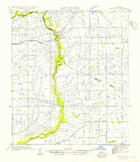
1954 · Milton
USGS Topo · 1:31,680

1954 · Lake Charles
USGS Topo · 1:250,000

1954 · Baton Rouge
USGS Topo · 1:250,000

1955 · Lafayette
USGS Topo · 1:24,000