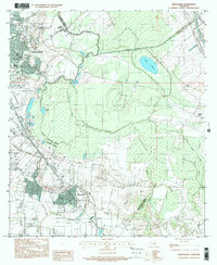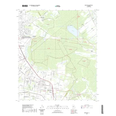
1983 Map of Broussard
USGS Topo · Published 1983About this map
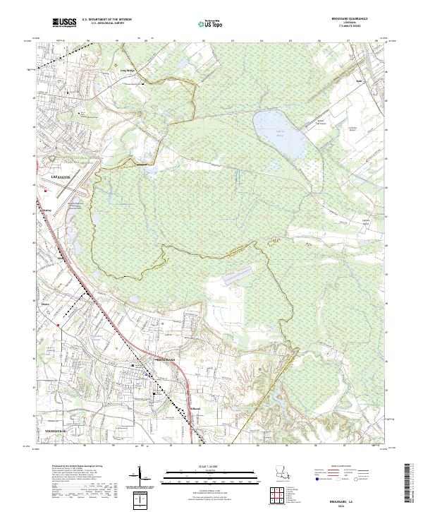
The Vermilion River and Bayou Tortue dominate the low-lying geography of this South Louisiana landscape, defining the boundary between Lafayette Parish and St. Martin Parish. The settlement of Broussard and the community of Billeaud sit along the Southern Pacific railroad line, showing the close relationship between rail transport and local industry in the early 1980s. Significant institutional landmarks are visible, including the Holy Rosary Institute and Breaux High Sch in the northern portion of the map near Lafayette. The intricate network of waterways like the Evangeline Canal and Ruth Canal highlights the extensive drainage and irrigation systems required for the surrounding agricultural lands. Notable features such as Lafayette Regional Airport and the smaller settlements of Pilette and Walroy trace the outward expansion of the regional hub into the surrounding bayou country.
Find a feature on this map
28 named features on this map. Tap any name to fly to it.
Don’t see what you’re looking for? This feature index may not catch every label — zoom into the map to look around manually.
Map Details
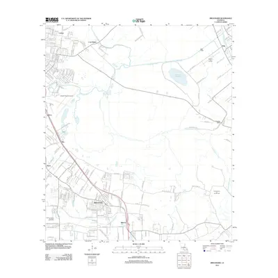
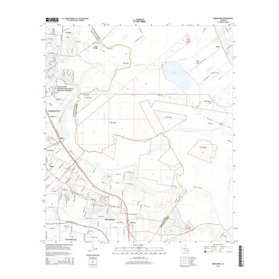
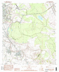
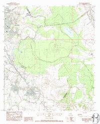
Editions of this 1983 Broussard Map
2 editions found
Historical Maps of Lafayette Through Time
7 maps found