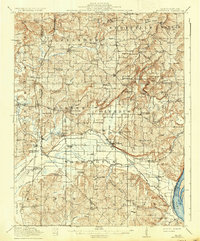
1917 Map of Brownfield
USGS Topo · Published 1937About this map
Dixon Springs Sta Renshaw PO and Big Bay McNoel PO serve as central nodes for Southern Illinois during the era of the Illinois Central Railroad. The landscape is defined by the transition from the rugged highlands of War Bluff and Hills to the bottomlands along the Ohio River and Bay Creek. This 1914–1915 survey reveals a dense network of country schools, including the Allard College School and the Normal School, suggesting a period of significant local rural development before later consolidation. The presence of both Old Brownfield and Brownfield indicates a shift in the local center of gravity, likely influenced by the positioning of Illinois State Highway No 146. Water crossings were vital to local travel, as seen in labels for Maynor Ford, Porter Ford, and Lackey Bridge.
Find a feature on this map
96 named features on this map. Tap any name to fly to it.
Don’t see what you’re looking for? This feature index may not catch every label — zoom into the map to look around manually.
Map Details
Editions of this 1917 Brownfield Map
4 editions found
Other maps of this area

1916 · Golconda
USGS Topo · 1:62,500

1916 · Equality
USGS Topo · 1:62,500

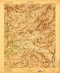
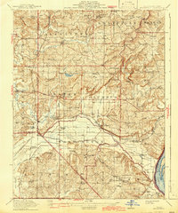
1917 · Brownfield
USGS Topo · 1:62,500

1918 · Vienna
USGS Topo · 1:62,500

1919 · Vienna
USGS Topo · 1:62,500

1920 · Goloonda
USGS Topo · 1:48,000

1921 · Golconda
USGS Topo · 1:62,500

1925 · Marion
USGS Topo · 1:62,500

1925 · Harrisburg
USGS Topo · 1:62,500

1926 · Paducah
USGS Topo · 1:62,500