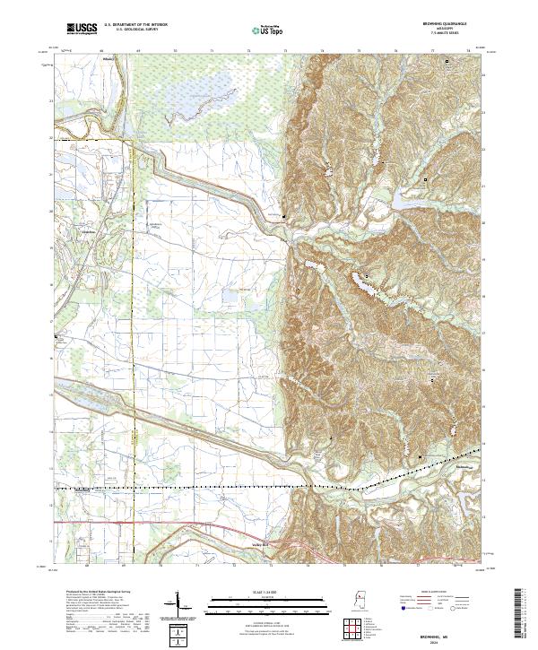
2024 Map of Browning
USGS Topo · Published 2024About this map
The hills and alluvial plains along the Leflore and Carroll County line reveal a landscape of ancestral estates and scattered rural communities. Malmaison stands as a significant point of interest, preserving the namesake of the historic home of Choctaw Chief Greenwood Leflore, whose legacy is further marked by the Greenwood Leflore Cem. The terrain transitions from the low-lying wetlands around Sharkey Bayou and the Yalobusha River to the rolling uplands where numerous family and community cemeteries, such as Kent Cem and Mount Pisgah Cem, are found.
Find a feature on this map
75 named features on this map. Tap any name to fly to it.
Don’t see what you’re looking for? This feature index may not catch every label — zoom into the map to look around manually.
Map Details
Editions of this 2024 Browning Map
This is the sole edition of this map. No revisions or reprints were ever made.
Other maps of this area

1936 · Greenwood
USGS Topo · 1:62,500

1940 · Seven Pines
USGS Topo · 1:62,500

1940 · Greenwood
USGS Topo · 1:62,500

1953 · Greenwood
USGS Topo · 1:250,000

1953 · West Point
USGS Topo · 1:250,000

1954 · McCarley
USGS Topo · 1:62,500

1956 · Greenwood
USGS Topo · 1:250,000

1957 · Greenwood
USGS Topo · 1:62,500

1957 · Seven Pines
USGS Topo · 1:62,500

1958 · West Point
USGS Topo · 1:250,000