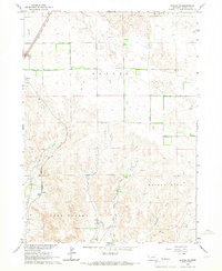
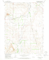
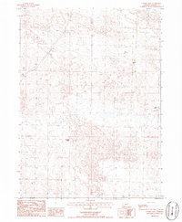
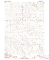
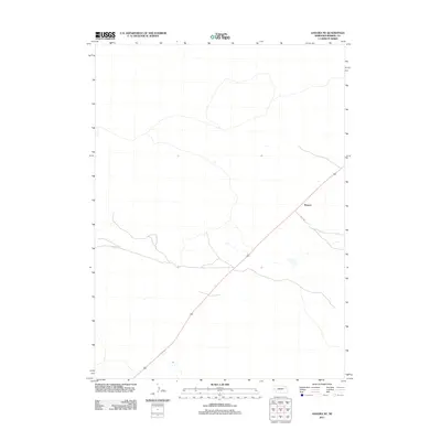
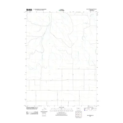
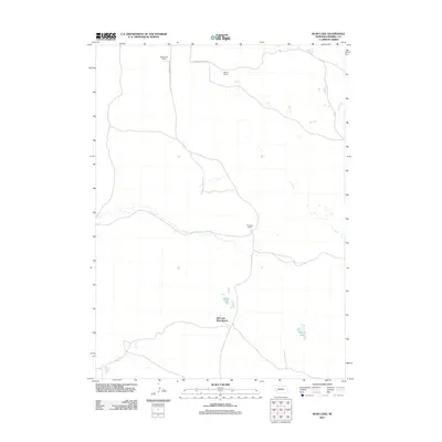
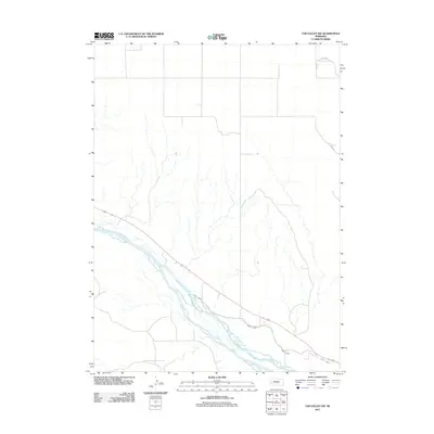
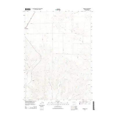
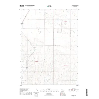
1899 Map of Browns Creek
USGS Topo · Published 1916About this map
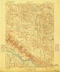
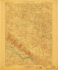
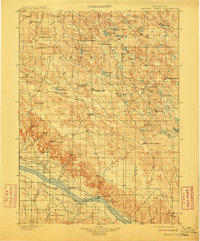
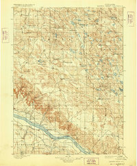
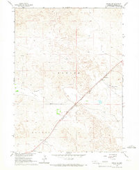
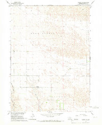
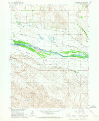
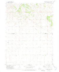
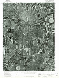
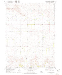
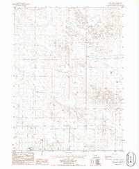
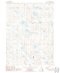
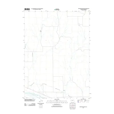
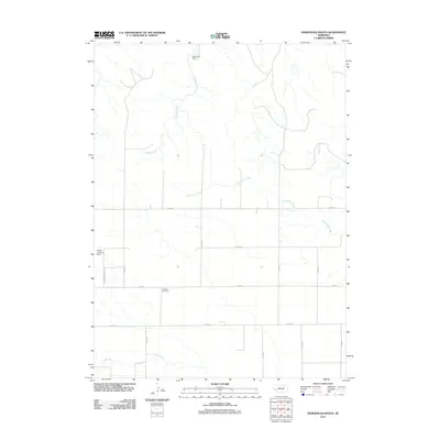
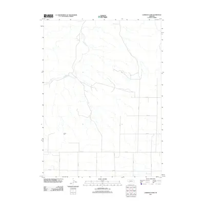
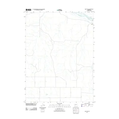
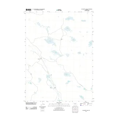
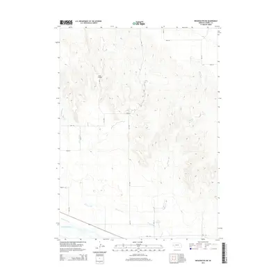
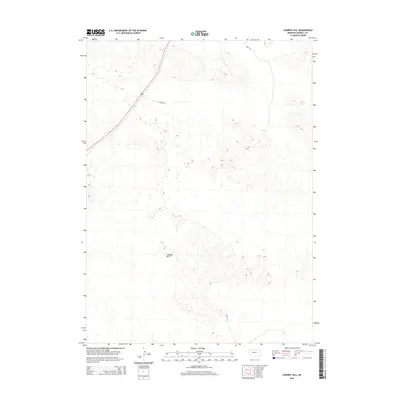
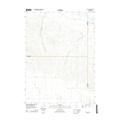
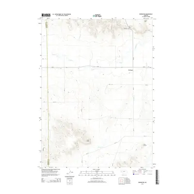
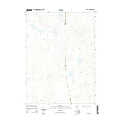
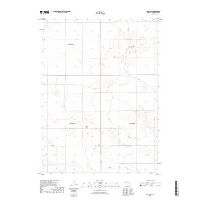
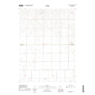
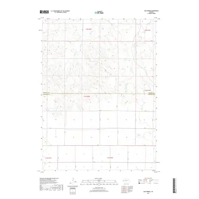
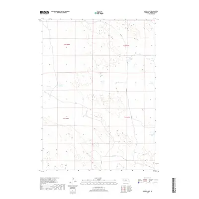
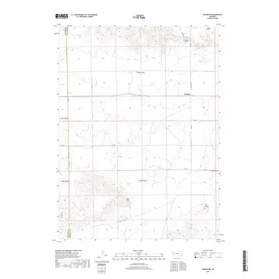
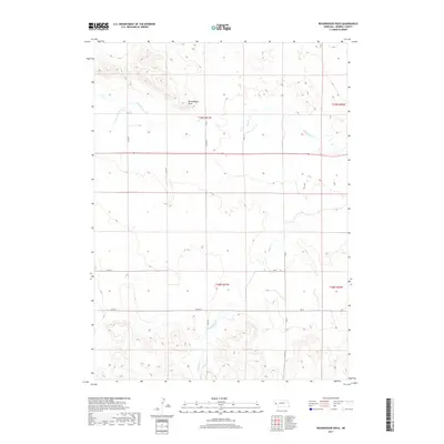
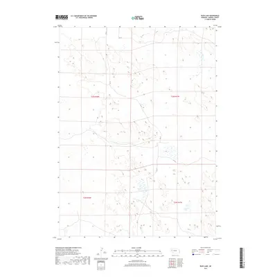
The North Platte River corridor dominates this late nineteenth-century landscape, serving as the vital lifeline for a network of early irrigation efforts. Irrigation engineering is prominently featured through the Browns Creek Canal, Beerline Canal, and Belmont Canal, which parallel the river to support the region's burgeoning agricultural potential. Settlement is characterized by numerous family-named ranching outposts, including Beerline's Ranch, Moffatt's Ranch, and Hubbell's Ranch, scattered across the open terrain north of the river. The small community of Lisco and the post office at Orlando represent the early fixed points of trade and communication. To the south, the iconic landmark of Courthouse Rock rises from the valley floor, while a dense collection of prairie lakes such as Wild Horse Lake, Storm Lake, and Alkali Lake dot the northern landscape, illustrating the natural hydrology before extensive modern alteration.
Find a feature on this map
53 named features on this map. Tap any name to fly to it.
Don’t see what you’re looking for? This feature index may not catch every label — zoom into the map to look around manually.
Map Details
Editions of this 1899 Browns Creek Map
5 editions found
Historical Maps of Broadwater Through Time
137 maps found

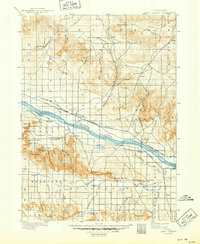
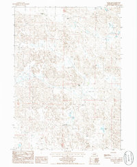
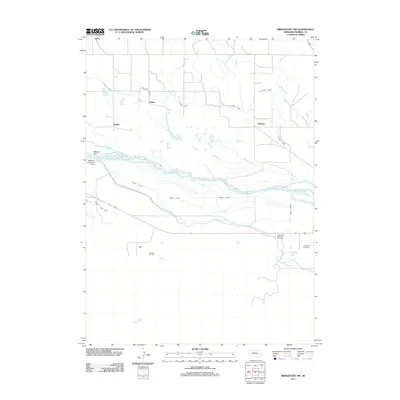
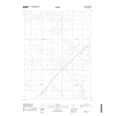
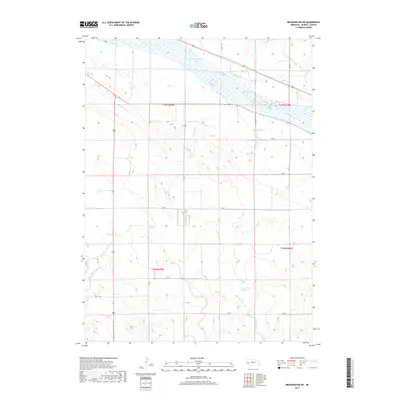
1896 Browns Creek
Morrill County, NE
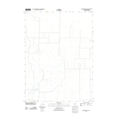
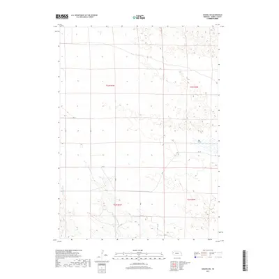
1898 Camp Clarke
Morrill County, NE
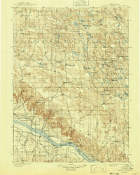
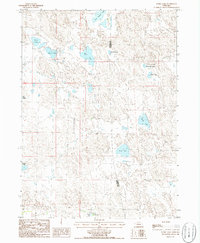
1899 Browns Creek
Morrill County, NE
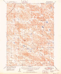
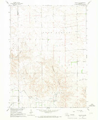
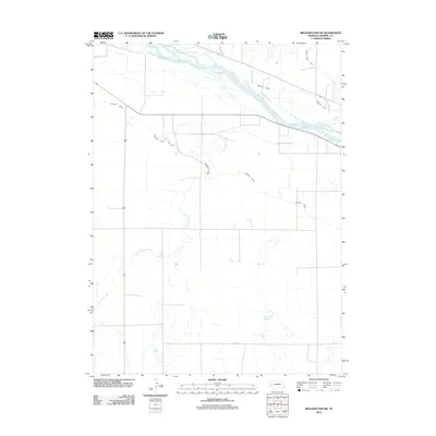
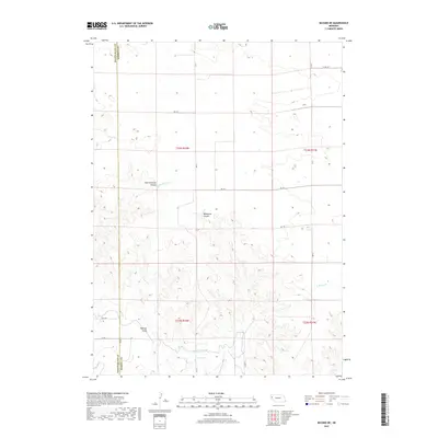
1949 Lynn
Morrill County, NE
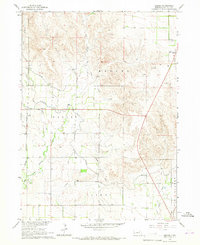
1965 Angora
Morrill County, NE
1965 Angora NE
Morrill County, NE
1965 Angora NW
Morrill County, NE
1965 Angora SE
Morrill County, NE
1965 Bayard NE
Morrill County, NE
1965 Bridgeport NW
Morrill County, NE
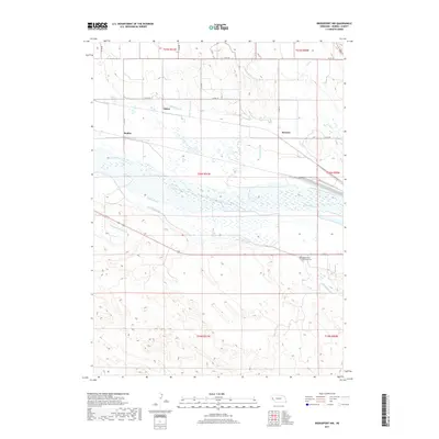
1965 Broadwater NE
Morrill County, NE
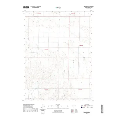
1965 Broadwater NW
Morrill County, NE
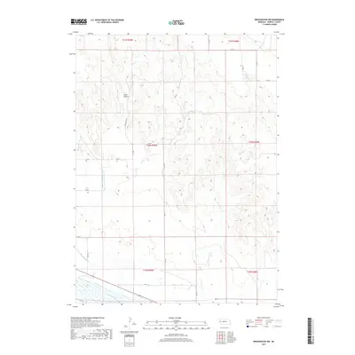
1965 Broadwater SW
Morrill County, NE
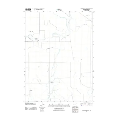
1965 Courthouse Rock
Morrill County, NE

1965 South Bayard
Morrill County, NE
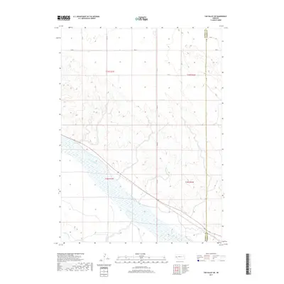
1971 Tar Valley
Morrill County, NE
1971 Tar Valley SW
Morrill County, NE
1972 Fairchild Ranch
Morrill County, NE
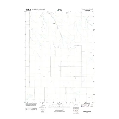
1972 Horsehead Ranch
Morrill County, NE
1972 Lisco NW
Morrill County, NE
1972 Mud Springs
Morrill County, NE
1973 Bridgeport SW
Morrill County, NE
1973 Camp Clarke 3 SE
Morrill County, NE
1973 Potter 2 NE
Morrill County, NE
1979 Lawrence Fork
Morrill County, NE
1979 Redington
Morrill County, NE
1979 Roundhouse Rock
Morrill County, NE
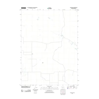
1986 Camp Lake
Morrill County, NE
1986 Cowboy Hill
Morrill County, NE
1986 McCarthy Lake
Morrill County, NE
1986 Norris Lake
Morrill County, NE
1986 Rush Lake
Morrill County, NE
1986 Storm Lake
Morrill County, NE
2011 Angora
Morrill County, NE
2011 Angora NE
Morrill County, NE
2011 Angora NW
Morrill County, NE
2011 Angora SE
Morrill County, NE
2011 Bayard NE
Morrill County, NE
2011 Bridgeport NW
Morrill County, NE
2011 Broadwater NE
Morrill County, NE
2011 Broadwater NW
Morrill County, NE
2011 Broadwater SW
Morrill County, NE
2011 Camp Lake
Morrill County, NE
2011 Courthouse Rock
Morrill County, NE
2011 Cowboy Hill
Morrill County, NE
2011 Fairchild Ranch
Morrill County, NE
2011 Horsehead Ranch
Morrill County, NE
2011 Lawrence Fork
Morrill County, NE
2011 Lisco NW
Morrill County, NE
2011 McCarthy Lake
Morrill County, NE
2011 Mud Springs
Morrill County, NE
2011 Norris Lake
Morrill County, NE
2011 Redington
Morrill County, NE
2011 Roundhouse Rock
Morrill County, NE
2011 Rush Lake
Morrill County, NE
2011 South Bayard
Morrill County, NE
2011 Storm Lake
Morrill County, NE
2011 Tar Valley
Morrill County, NE
2011 Tar Valley SW
Morrill County, NE
2014 Angora
Morrill County, NE
2014 Angora NE
Morrill County, NE
2014 Angora NW
Morrill County, NE
2014 Angora SE
Morrill County, NE
2014 Bayard NE
Morrill County, NE
2014 Bridgeport NW
Morrill County, NE
2014 Broadwater NE
Morrill County, NE
2014 Broadwater NW
Morrill County, NE
2014 Broadwater SW
Morrill County, NE
2014 Camp Lake
Morrill County, NE
2014 Courthouse Rock
Morrill County, NE
2014 Cowboy Hill
Morrill County, NE
2014 Fairchild Ranch
Morrill County, NE
2014 Horsehead Ranch
Morrill County, NE
2014 Lawrence Fork
Morrill County, NE
2014 Lisco NW
Morrill County, NE
2014 McCarthy Lake
Morrill County, NE
2014 Mud Springs
Morrill County, NE
2014 Norris Lake
Morrill County, NE
2014 Redington
Morrill County, NE
2014 Roundhouse Rock
Morrill County, NE
2014 Rush Lake
Morrill County, NE
2014 South Bayard
Morrill County, NE
2014 Storm Lake
Morrill County, NE
2014 Tar Valley
Morrill County, NE
2014 Tar Valley SW
Morrill County, NE
2017 Angora
Morrill County, NE
2017 Angora NE
Morrill County, NE
2017 Angora NW
Morrill County, NE
2017 Angora SE
Morrill County, NE
2017 Bayard NE
Morrill County, NE
2017 Bridgeport NW
Morrill County, NE
2017 Broadwater NE
Morrill County, NE
2017 Broadwater NW
Morrill County, NE
2017 Broadwater SW
Morrill County, NE
2017 Camp Lake
Morrill County, NE
2017 Courthouse Rock
Morrill County, NE
2017 Cowboy Hill
Morrill County, NE
2017 Fairchild Ranch
Morrill County, NE
2017 Horsehead Ranch
Morrill County, NE
2017 Lawrence Fork
Morrill County, NE
2017 Lisco NW
Morrill County, NE
2017 McCarthy Lake
Morrill County, NE
2017 Mud Springs
Morrill County, NE
2017 Norris Lake
Morrill County, NE
2017 Redington
Morrill County, NE
2017 Roundhouse Rock
Morrill County, NE
2017 Rush Lake
Morrill County, NE
2017 South Bayard
Morrill County, NE
2017 Storm Lake
Morrill County, NE
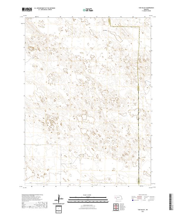
2017 Tar Valley
Morrill County, NE
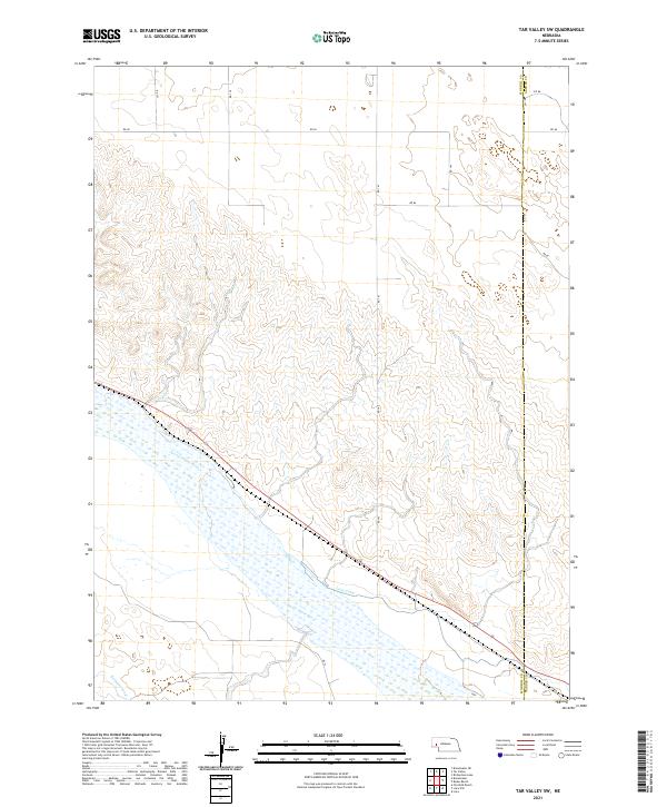
2017 Tar Valley SW
Morrill County, NE
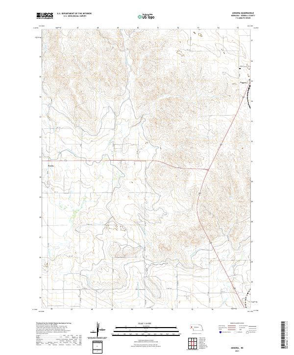
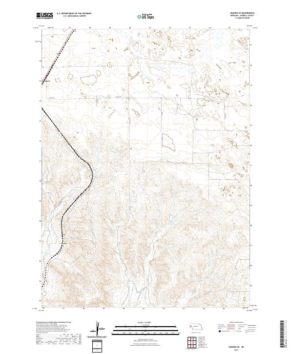
2021 Angora
Morrill County, NE
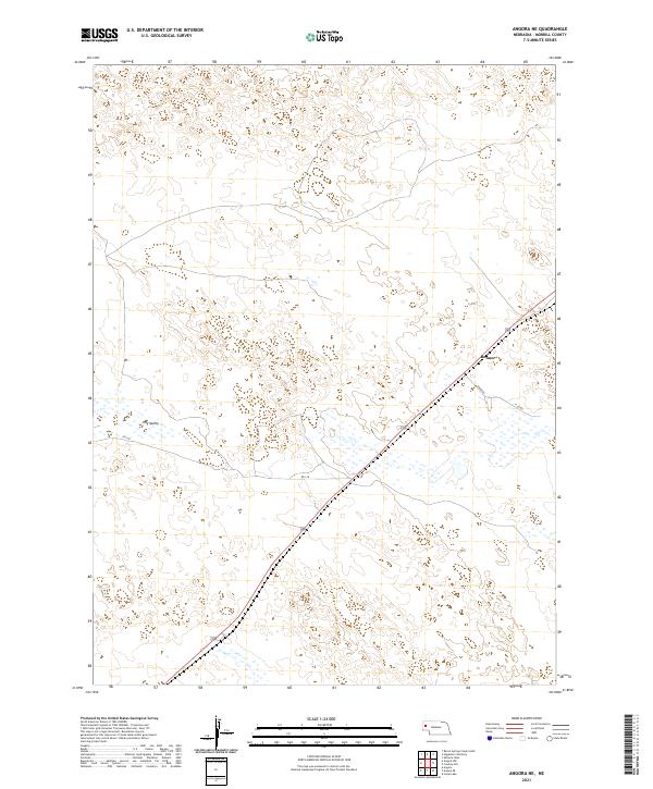
2021 Angora NE
Morrill County, NE
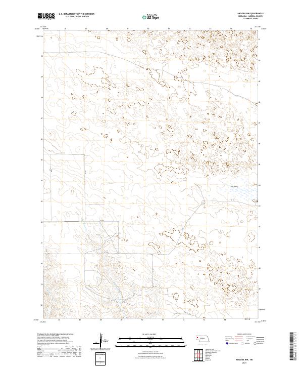
2021 Angora NW
Morrill County, NE
2021 Angora SE
Morrill County, NE
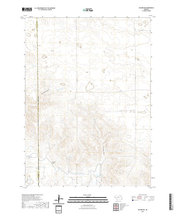
2021 Bayard NE
Morrill County, NE

2021 Bridgeport NW
Morrill County, NE
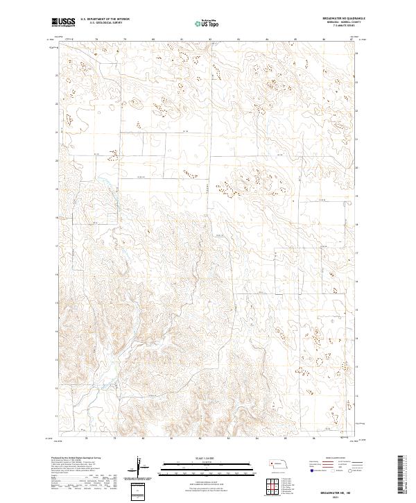
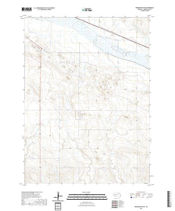
2021 Broadwater NE
Morrill County, NE
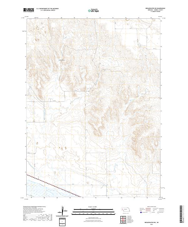
2021 Broadwater NW
Morrill County, NE
2021 Broadwater SW
Morrill County, NE
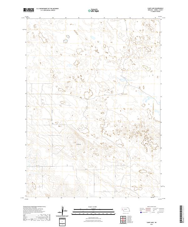
2021 Camp Lake
Morrill County, NE
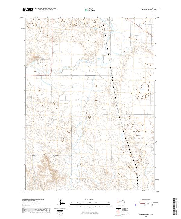
2021 Courthouse Rock
Morrill County, NE
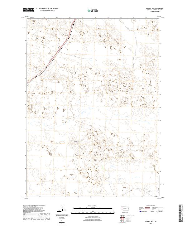
2021 Cowboy Hill
Morrill County, NE
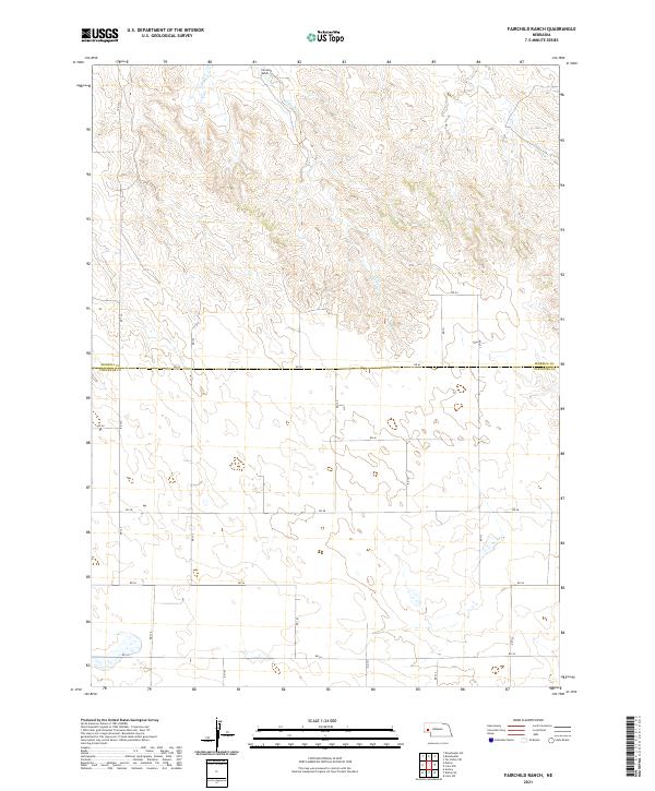
2021 Fairchild Ranch
Morrill County, NE
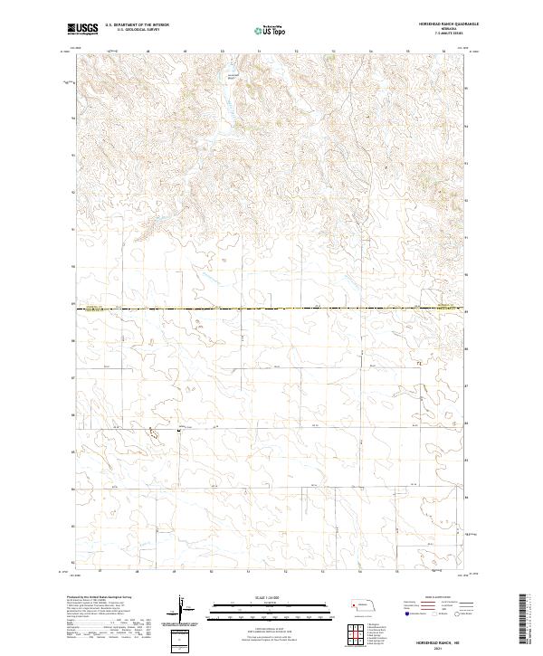
2021 Horsehead Ranch
Morrill County, NE
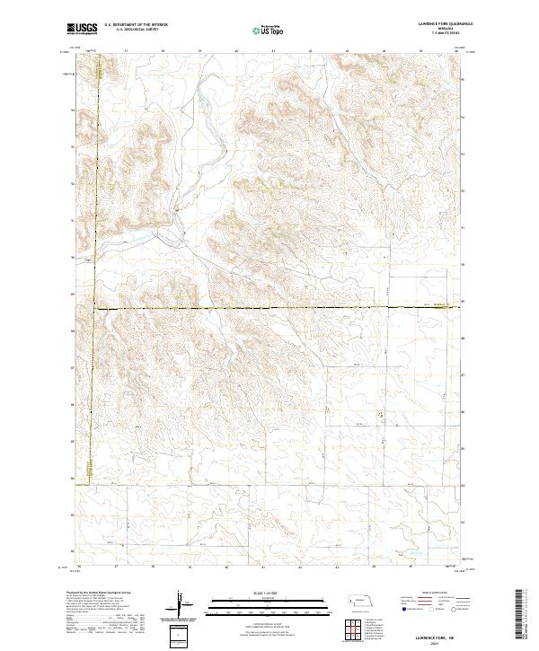
2021 Lawrence Fork
Morrill County, NE
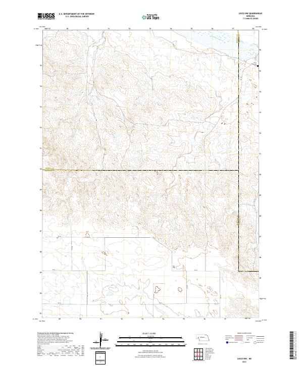
2021 Lisco NW
Morrill County, NE
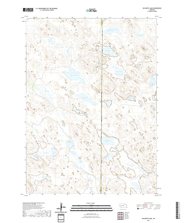
2021 McCarthy Lake
Morrill County, NE
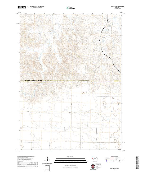
2021 Mud Springs
Morrill County, NE
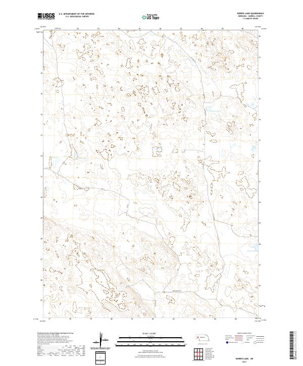
2021 Norris Lake
Morrill County, NE
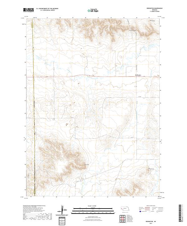
2021 Redington
Morrill County, NE
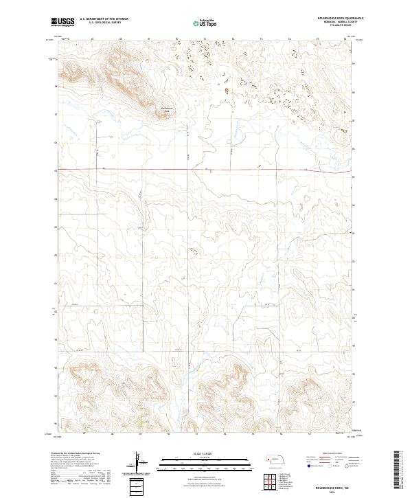
2021 Roundhouse Rock
Morrill County, NE
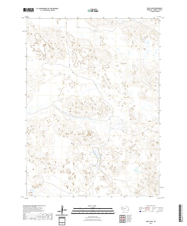
2021 Rush Lake
Morrill County, NE
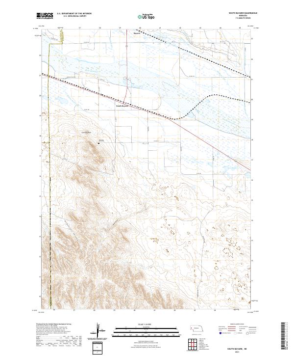
2021 South Bayard
Morrill County, NE
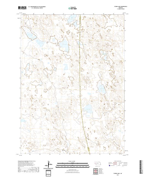
2021 Storm Lake
Morrill County, NE
2021 Tar Valley
Morrill County, NE
2021 Tar Valley SW
Morrill County, NE