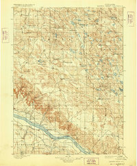
1899 Map of Browns Creek
USGS Topo · Published 1928About this map
Lisco and the scattered outposts of the Nebraska panhandle appear here as they were surveyed in the late 19th century, dominated by a vast ranching economy. The North Platte River serves as the primary geographic anchor, flanked by early irrigation infrastructure such as the Beerline Canal, Belmont Canal, and North River Canal. This network of waterways allowed for the expansion of cattle operations across the prairie, evidenced by the numerous family-named landmarks including Johnson's Ranch, Hills Ranch, and Richardson's Ranch. To the south, the iconic profile of Courthouse Rock stands as a prominent marker for travelers in the region.
Find a feature on this map
53 named features on this map. Tap any name to fly to it.
Don’t see what you’re looking for? This feature index may not catch every label — zoom into the map to look around manually.
Map Details
Editions of this 1899 Browns Creek Map
5 editions found
Other maps of this area

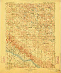
1896 · Browns Creek
USGS Topo · 1:125,000

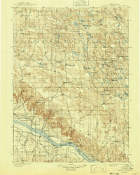
1898 · Camp Clarke
USGS Topo · 1:125,000

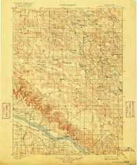
1899 · Browns Creek
USGS Topo · 1:125,000

1899 · Sidney
USGS Topo · 1:125,000

1900 · Chappell
USGS Topo · 1:125,000

1947 · Alliance
USGS Topo · 1:24,000

1947 · Bronco Lake
USGS Topo · 1:24,000

1948 · Hemingford 4 SE
USGS Topo · 1:24,000

1948 · Alliance
USGS Topo · 1:24,000

1948 · Antioch
USGS Topo · 1:62,500