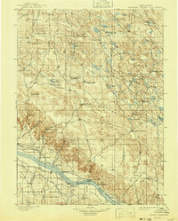
1899 Map of Browns Creek
USGS Topo · Published 1943About this map
The North Platte River corridor dominates this late-nineteenth-century landscape, revealing an intricate network of early irrigation efforts. The Browns Creek Canal, Beerline Canal, and Belmont Canal parallel the river, demonstrating how water management shaped Nebraska's western settlement. The survey documents a territory defined by a ranching economy, where family holdings like Johnson's Ranch, Smith's Ranch, and Beerline's Ranch serve as the primary landmarks across the rolling terrain.
Find a feature on this map
58 named features on this map. Tap any name to fly to it.
Don’t see what you’re looking for? This feature index may not catch every label — zoom into the map to look around manually.
Map Details
Editions of this 1899 Browns Creek Map
5 editions found
Other maps of this area

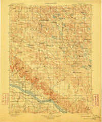
1896 · Browns Creek
USGS Topo · 1:125,000

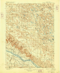
1898 · Camp Clarke
USGS Topo · 1:125,000

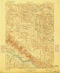
1899 · Browns Creek
USGS Topo · 1:125,000

1899 · Sidney
USGS Topo · 1:125,000

1900 · Chappell
USGS Topo · 1:125,000

1947 · Alliance
USGS Topo · 1:24,000

1947 · Bronco Lake
USGS Topo · 1:24,000

1948 · Hemingford 4 SE
USGS Topo · 1:24,000

1948 · Alliance
USGS Topo · 1:24,000

1948 · Antioch
USGS Topo · 1:62,500