
1921 Map of Brownsville
USGS Topo · Published 1921About this map
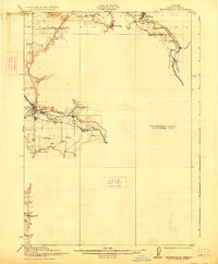
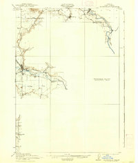
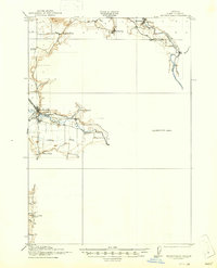
Brownsville sits at the heart of this Linn County survey, where the Calapooya River emerges from the foothills and meets the early 20th-century path of the Southern Pacific railroad. The map highlights a rural infrastructure defined by its water and educational centers, from the industrial Brownsville Ditch to a high density of country schoolhouses like Union Point School, Rockhill School, and Frums School. In the north, the South Santiam River winds past Waterloo and the mineral waters of Soda Spring near Sodaville. While central portions remain part of a Preliminary Edition Unsurveyed Area, the detailed sections provide a clear look at early land divisions and the network of creeks—such as Courtney Creek and Warren Creek—that dictated the placement of homesteads and small settlements before the era of modern highway expansion.
Find a feature on this map
25 named features on this map. Tap any name to fly to it.
Don’t see what you’re looking for? This feature index may not catch every label — zoom into the map to look around manually.
Map Details
Editions of this 1921 Brownsville Map
4 editions found
Other maps of this area

1909 · Rowland
USGS Topo · 1:31,680

1910 · Eugene
USGS Topo · 1:62,500

1911 · Brownsville
USGS Topo · 1:31,680

1911 · Lebanon
USGS Topo · 1:31,680

1911 · Tangent
USGS Topo · 1:31,680

1912 · Halsey
USGS Topo · 1:62,500

1916 · Albany
USGS Topo · 1:62,500

1921 · Lebanon
USGS Topo · 1:62,500

1922 · Lebanon
USGS Topo · 1:48,000

1924 · Lebanon
USGS Topo · 1:62,500