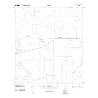
2010 Map of Brundage
USGS Topo · Published 2010About this map
The Nueces River winds through the southern portion of this Dimmit County landscape, defining a region where water management and ranching infrastructure shape the terrain. Central to this area is the settlement of Brundage, situated at the intersection of FM 65 and FM 190. The map reveals a complex system of reservoirs and water control, including the Reynolds and Wilson Lake Number 1 Dam, Reynolds and Wilson Lake Number 2 Dam, and Bermuda Dam on Bermuda Lake. These features, alongside Soldier Slough and Tortuga Creek, suggest a landscape carefully engineered for livestock or agricultural sustainability in a semi-arid environment.
Find a feature on this map
20 named features on this map. Tap any name to fly to it.
Don’t see what you’re looking for? This feature index may not catch every label — zoom into the map to look around manually.
Map Details
Editions of this 2010 Brundage Map
This is the sole edition of this map. No revisions or reprints were ever made.
Other maps of this area

1925 · San Roque Lake 1-a
USGS Topo · 1:48,000

1929 · Cotulla
USGS Topo · 1:125,000

1932 · Valley Wells
USGS Topo · 1:62,500

1939 · Carrizo Springs
USGS Topo · 1:62,500

1939 · Big Wells
USGS Topo · 1:62,500

1940 · Asherton
USGS Topo · 1:62,500

1940 · Catarina
USGS Topo · 1:62,500

1953 · Crystal City
USGS Topo · 1:250,000

1955 · Crystal City
USGS Topo · 1:250,000

1961 · Crystal City
USGS Topo · 1:250,000