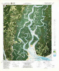
1979 Map of Brunswick East
USGS Topo · Published 1980About this map
Coastal Glynn County serves as a complex intersection of maritime history and modern infrastructure in the late 1970s. This orthophotomap provides a clear view of the deep-water channels and sprawling marshlands, including the Glynn Marshes and Lanier Island, which separate the mainland city of Brunswick from the historic settlements on St. Simons Island. The landscape is marked by colonial heritage and aviation history, featuring the Fort Frederica National Monument and the St Simons Lighthouse alongside the active Malcolm Mc Kinnon Airport.
Find a feature on this map
60 named features on this map. Tap any name to fly to it.
Don’t see what you’re looking for? This feature index may not catch every label — zoom into the map to look around manually.
Map Details
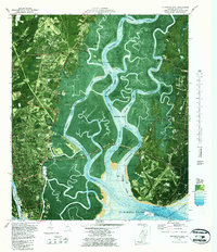
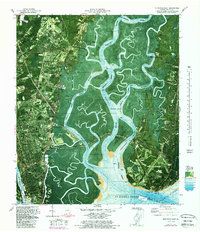
Editions of this 1979 Brunswick East Map
Other maps of this area

1918 · Everett City
USGS Topo · 1:62,500

1918 · Bladen
USGS Topo · 1:62,500

1920 · Everett City
USGS Topo · 1:62,500

1921 · Darien
USGS Topo · 1:62,500

1939 · Bladen
USGS Topo · 1:62,500

1944 · Everett City
USGS Topo · 1:62,500

1945 · Brunswick
USGS Topo · 1:62,500

1946 · Brunswick
USGS Topo · 1:250,000

1948 · Brunswick
USGS Topo · 1:250,000

1954 · Altamaha Sound
USGS Topo · 1:24,000