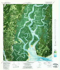
1979 Map of Brunswick East
USGS Topo · Published 1987About this map
The complex estuarine landscape of the Georgia coast is captured in this orthophotomap, where the Mackay River and Frederica River wind through extensive marshlands toward St Simons Sound. This 1970s perspective highlights the established footprint of Brunswick and the burgeoning development on St Simons Island. Cultural and historical layers are prominent, from the site of Fort Frederica National Monument to the commemorative Bloody Marsh area. The map documents smaller communities like Harrington, Jewtown, and Glynn Haven, alongside landmarks such as the St Simons Lighthouse and the Federal Law Enforcement Training Center. Transportation networks are well-defined, featuring the Torras Causeway and the Seaboard Coast Line railroad. Genealogists may find value in the location of local burial sites like Brunswick Memorial Park and Stranger Cem, while the inclusion of bathymetric soundings in the Intracoastal Waterway reflects the area's continued importance for maritime navigation.
Find a feature on this map
55 named features on this map. Tap any name to fly to it.
Don’t see what you’re looking for? This feature index may not catch every label — zoom into the map to look around manually.
Map Details
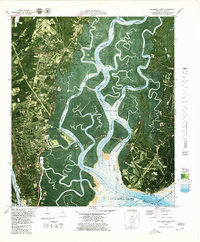
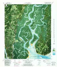
Editions of this 1979 Brunswick East Map
Other maps of this area

1918 · Everett City
USGS Topo · 1:62,500

1918 · Bladen
USGS Topo · 1:62,500

1920 · Everett City
USGS Topo · 1:62,500

1921 · Darien
USGS Topo · 1:62,500

1939 · Bladen
USGS Topo · 1:62,500

1944 · Everett City
USGS Topo · 1:62,500

1945 · Brunswick
USGS Topo · 1:62,500

1946 · Brunswick
USGS Topo · 1:250,000

1948 · Brunswick
USGS Topo · 1:250,000

1954 · Altamaha Sound
USGS Topo · 1:24,000