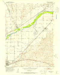
1951 Map of Brush East
USGS Topo · Published 1953About this map
Agricultural and industrial development along the South Platte River defines this 1951 landscape in Morgan County. The town of Brush serves as a major hub, dominated by the large Sugar Refinery and a network of irrigation works including the Lower Platte and Beaver Canal and Sterling Canal. This sophisticated water management system enabled the transition of the arid plains into productive farmland, supporting outlying communities like Snyder and Hillrose.
Find a feature on this map
20 named features on this map. Tap any name to fly to it.
Don’t see what you’re looking for? This feature index may not catch every label — zoom into the map to look around manually.
Map Details
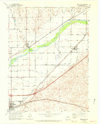
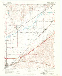
Editions of this 1951 Brush East Map
4 editions found
Other maps of this area

1951 · Dead Horse Springs
USGS Topo · 1:24,000

1951 · Messex
USGS Topo · 1:24,000

1951 · Brush West
USGS Topo · 1:24,000

1951 · Antelope Springs
USGS Topo · 1:24,000

1951 · Merino SW
USGS Topo · 1:24,000

1951 · Brush East
USGS Topo · 1:24,000

1954 · Sterling
USGS Topo · 1:250,000

1958 · Sterling
USGS Topo · 1:250,000

1963 · Round Top
USGS Topo · 1:24,000

1965 · Miller Ranch
USGS Topo · 1:24,000