
1951 Map of Brush East
USGS Topo · Published 1953About this map
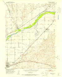
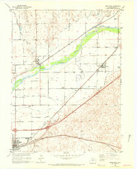
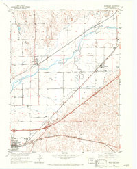
The irrigation-fed agricultural landscape of the Missouri River Basin is defined here by the South Platte River and an extensive network of canals. Industrial activity centers on the town of Brush, where a prominent Sugar Refinery and railroad infrastructure highlight the region's economic reliance on beet processing and transport. The Union Pacific and Chicago Burlington and Quincy railroads parallel the river, connecting the settlements of Snyder, Hillrose, and Camden. Rural life in the early 1950s is anchored by local institutions such as the Colwell School and Fairview School. The intricate water system, featuring the Lower Platte and Beaver Canal and North Sterling Canal, illustrates the intensive effort required to transform the high plains into productive farmland during this era of development.
Find a feature on this map
24 named features on this map. Tap any name to fly to it.
Don’t see what you’re looking for? This feature index may not catch every label — zoom into the map to look around manually.
Map Details
Editions of this 1951 Brush East Map
4 editions found
Other maps of this area

1951 · Dead Horse Springs
USGS Topo · 1:24,000

1951 · Messex
USGS Topo · 1:24,000

1951 · Brush West
USGS Topo · 1:24,000

1951 · Antelope Springs
USGS Topo · 1:24,000

1951 · Merino SW
USGS Topo · 1:24,000

1954 · Sterling
USGS Topo · 1:250,000

1958 · Sterling
USGS Topo · 1:250,000

1963 · Round Top
USGS Topo · 1:24,000

1965 · Miller Ranch
USGS Topo · 1:24,000

1971 · Brush East
USGS Topo · 1:24,000