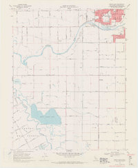
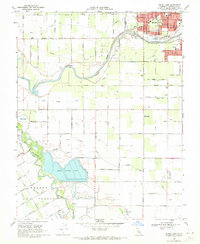
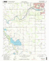
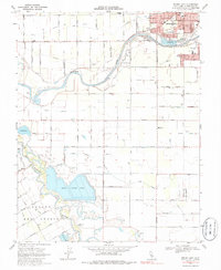
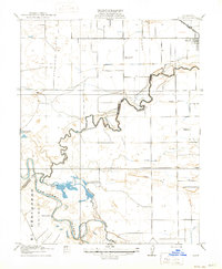
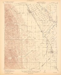
1969 Map of Brush Lake
USGS Topo · Published 1971About this map
The Tuolumne River meanders toward its confluence with the San Joaquin River in this central California landscape south of Modesto. The map illustrates a highly engineered agricultural and industrial environment, defined by a complex network of irrigation channels like Lower Lateral No 1 and Lower Lateral No 2. Significant land use is dedicated to utility and infrastructure, most notably the expansive Sewage Disposal Ponds and the Radio Towers (KLOC) standing near the riverbanks.
Find a feature on this map
67 named features on this map. Tap any name to fly to it.
Don’t see what you’re looking for? This feature index may not catch every label — zoom into the map to look around manually.
Map Details
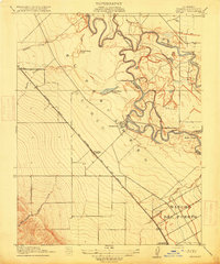
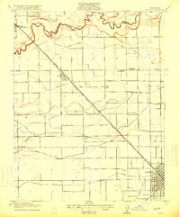
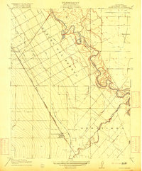
Editions of this 1969 Brush Lake Map
4 editions found
Other maps of this area
1915 · Ripon
USGS Topo · 1:31,680

1915 · Westport
USGS Topo · 1:31,680
1915 · Westley
USGS Topo · 1:31,680
1915 · Salida
USGS Topo · 1:31,680

1916 · Mitchell School
USGS Topo · 1:31,680
1916 · Crows Landing
USGS Topo · 1:31,680
1916 · Patterson
USGS Topo · 1:31,680
1916 · Riverbank
USGS Topo · 1:31,680
1916 · Ceres
USGS Topo · 1:31,680
1919 · Orestimba
USGS Topo · 1:62,500