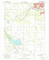
1969 Map of Brush Lake
USGS Topo · Published 1971About this map
The Tuolumne River winds through this agricultural landscape towards its confluence with the San Joaquin River, defining the western edge of Modesto. In the late 1960s, the area south of the city was a grid of orchards and fields partitioned by an intricate network of irrigation ditches, including Lateral No 1 and Lower Lateral No 2. This region is characterized by historical land grants like Rancho El Pescadero and Rancho Del Puerto, reflecting the deep-rooted ranching history of Stanislaus County. Local education is centered around rural outposts such as Westport Union Sch and Shiloh Sch, while the southwestern corner features the prominent Sewage Disposal Ponds and the natural depression of Brush Lake near the river banks.
Find a feature on this map
66 named features on this map. Tap any name to fly to it.
Don’t see what you’re looking for? This feature index may not catch every label — zoom into the map to look around manually.
Map Details
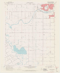
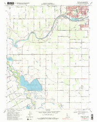
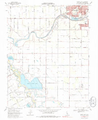
Editions of this 1969 Brush Lake Map
4 editions found
Other maps of this area

1915 · Ripon
USGS Topo · 1:31,680

1915 · Westport
USGS Topo · 1:31,680

1915 · Westley
USGS Topo · 1:31,680

1915 · Salida
USGS Topo · 1:31,680

1916 · Mitchell School
USGS Topo · 1:31,680

1916 · Crows Landing
USGS Topo · 1:31,680

1916 · Patterson
USGS Topo · 1:31,680

1916 · Riverbank
USGS Topo · 1:31,680

1916 · Ceres
USGS Topo · 1:31,680

1919 · Orestimba
USGS Topo · 1:62,500