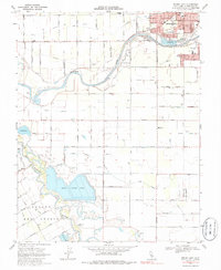
1969 Map of Brush Lake
USGS Topo · Published 1986About this map
The confluence of the Tuolumne River and the San Joaquin River dominates this Central Valley landscape, illustrating the intricate water management of the late 1960s. The southwestern corner of Modesto pushes toward the riverbank, marked by the Corporate Limits and significant infrastructure like the Sewage Disposal facility and several public parks, including Riverdale Park and Bellenita Park. Outside the city center, the terrain is defined by the historic boundaries of Rancho Del Puerto and a dense grid of agricultural roads named for local flora and settlers, such as Magnolia Avenue and Bancroft Road.
Find a feature on this map
82 named features on this map. Tap any name to fly to it.
Don’t see what you’re looking for? This feature index may not catch every label — zoom into the map to look around manually.
Map Details
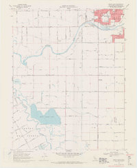
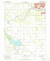
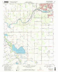
Editions of this 1969 Brush Lake Map
4 editions found
Other maps of this area

1915 · Ripon
USGS Topo · 1:31,680

1915 · Westport
USGS Topo · 1:31,680

1915 · Westley
USGS Topo · 1:31,680

1915 · Salida
USGS Topo · 1:31,680

1916 · Mitchell School
USGS Topo · 1:31,680

1916 · Crows Landing
USGS Topo · 1:31,680

1916 · Patterson
USGS Topo · 1:31,680

1916 · Riverbank
USGS Topo · 1:31,680

1916 · Ceres
USGS Topo · 1:31,680

1919 · Orestimba
USGS Topo · 1:62,500