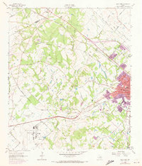
1962 Map of Bryan West
USGS Topo · Published 1973About this map
The Little Brazos River and Thompsons Creek define the agrarian landscape of west Bryan during the early 1960s, prior to significant urban expansion. The western edge of Bryan shows its mid-century industrial and residential footprint, including schools like Anson Jones Jr High Sch and Milam Sch. The southern portion of the sheet is anchored by the Texas A&M University Research Annex, a prominent landmark located near the Canaan Cem.
Find a feature on this map
62 named features on this map. Tap any name to fly to it.
Don’t see what you’re looking for? This feature index may not catch every label — zoom into the map to look around manually.
Map Details
Editions of this 1962 Bryan West Map
4 editions found
Other maps of this area

1954 · Austin
USGS Topo · 1:250,000

1956 · Bryan
USGS Topo · 1:62,500

1956 · Caldwell
USGS Topo · 1:62,500

1961 · Mumford
USGS Topo · 1:24,000

1961 · Hearne South
USGS Topo · 1:24,000

1961 · Wellborn
USGS Topo · 1:24,000
1962 · Tunis
USGS Topo · 1:24,000
1962 · Chances Store
USGS Topo · 1:24,000

1962 · Bryan East
USGS Topo · 1:24,000
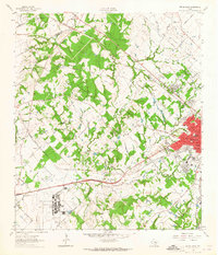
1962 · Bryan West
USGS Topo · 1:24,000