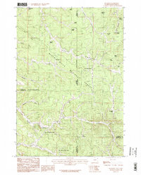
1984 Map of Buckhorn
USGS Topo · Published 1984About this map
Black Hills National Forest dominates this topographic study of the Wyoming-South Dakota borderlands, a landscape defined by sharp canyons and high-elevation springs. The map centers on the small settlement of Buckhorn, where Buckhorn Creek meets Cold Springs Creek. To the north, the terrain gives way to the deep cut of Grand Canyon and the notable Riflepit Canyon. The presence of the Black Hills State College (Hardy Campus) at Hardy highlights the institutional reach into this high country during the late twentieth century.
Find a feature on this map
38 named features on this map. Tap any name to fly to it.
Don’t see what you’re looking for? This feature index may not catch every label — zoom into the map to look around manually.
Map Details
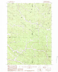
Editions of this 1984 Buckhorn Map
2 editions found
Other maps of this area

1894 · Deadwood
USGS Topo · 1:125,000

1898 · Sundance
USGS Topo · 1:125,000

1900 · Spearfish
USGS Topo · 1:62,500

1901 · Deadwood
USGS Topo · 1:125,000

1902 · Sundance
USGS Topo · 1:125,000

1915 · Spearfish
USGS Topo · 1:62,500

1916 · Deadwood
USGS Topo · 1:125,000

1953 · Rapid City
USGS Topo · 1:250,000

1954 · Gillette
USGS Topo · 1:250,000

1955 · Gillette
USGS Topo · 1:250,000