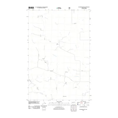
2011 Map of Buckskin Butte
USGS Topo · Published 2011About this map
Buckskin Butte and Teepee Butte anchor this western North Dakota landscape, where the topography is defined by the drainages of Bennett Creek and Cottonwood Creek. The settlement pattern in this part of McKenzie County is almost entirely composed of widely spaced ranching operations, such as the N Hartman Ranch in the north and the Murry Ranch to the south. This 2011 survey reflects the enduring character of the high plains, showing a network of rural routes like Co Rte 50 connecting these remote homesteads. Genealogists and local historians can use these specific family-named ranch labels, including the Storm Ranch and H Rase Ranch, to identify the location of private landholdings in the early 21st century. The map also traces Beicegel Creek in the southwestern corner, illustrating the complex watershed system that supports the region's agricultural and ranching economy.
Find a feature on this map
24 named features on this map. Tap any name to fly to it.
Don’t see what you’re looking for? This feature index may not catch every label — zoom into the map to look around manually.
Map Details
Editions of this 2011 Buckskin Butte Map
This is the sole edition of this map. No revisions or reprints were ever made.
Other maps of this area

1953 · Watford City
USGS Topo · 1:250,000

1957 · Watford City
USGS Topo · 1:250,000

1958 · Long X Divide
USGS Topo · 1:24,000

1958 · Sperati Point
USGS Topo · 1:24,000

1958 · Lone Butte
USGS Topo · 1:24,000

1967 · Watford City
USGS Topo · 1:250,000

1974 · Wolf Coulee
USGS Topo · 1:24,000

1974 · Grassy Butte SW
USGS Topo · 1:24,000

1974 · Squaretop Butte
USGS Topo · 1:24,000

1974 · Buckskin Butte
USGS Topo · 1:24,000