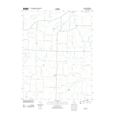
2012 Map of Buell
USGS Topo · Published 2012About this map
Middletown and the smaller community of Buell anchor this rural Montgomery County landscape, where the agricultural grid is defined by a dense network of secondary routes like Swope School Rd and Hopewell Church Rd. The terrain is characterized by the branching drainages of Elkhorn Creek, Coon Creek, and Crooked Creek, which feed into local catchments such as Middletown Lake.
Find a feature on this map
70 named features on this map. Tap any name to fly to it.
Don’t see what you’re looking for? This feature index may not catch every label — zoom into the map to look around manually.
Map Details
Editions of this 2012 Buell Map
This is the sole edition of this map. No revisions or reprints were ever made.
Other maps of this area

1890 · Louisiana
USGS Topo · 1:125,000

1890 · Mexico
USGS Topo · 1:125,000

1890 · Hermann
USGS Topo · 1:125,000

1890 · Fulton
USGS Topo · 1:125,000

1940 · Montgomery City
USGS Topo · 1:62,500

1942 · Montgomery City
USGS Topo · 1:62,500

1942 · Wellsville
USGS Topo · 1:62,500

1942 · New Florence
USGS Topo · 1:62,500

1942 · Bellflower
USGS Topo · 1:62,500

1945 · Bellflower
USGS Topo · 1:62,500