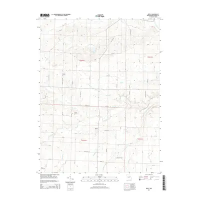
2014 Map of Buell
USGS Topo · Published 2014About this map
Buell sits at the heart of this Montgomery County landscape, a small community defined by its proximity to the headwaters of several major creek systems. The geography here is dominated by the drainage basins of White Oak Cr, Elkhorn Cr, and Crooked Cr, which weave through the agricultural sections of T50N and T49N. Genealogists can trace family footprints at historic burial sites including Hopewell Cemetery, McQuoid Cemetery, and White Cemetery. North of the settlement, Middletown Lake serves as a local landmark along the highway corridor. The presence of Wehrman Airport and several county roads like Trinity Church Rd and Hopewell Church Rd illustrates the modern infrastructure layered over this traditionally rural Missouri terrain, where the W Fork Cuivre River touches the northeastern corner of the map.
Find a feature on this map
85 named features on this map. Tap any name to fly to it.
Don’t see what you’re looking for? This feature index may not catch every label — zoom into the map to look around manually.
Map Details
Editions of this 2014 Buell Map
This is the sole edition of this map. No revisions or reprints were ever made.
Other maps of this area

1890 · Louisiana
USGS Topo · 1:125,000

1890 · Mexico
USGS Topo · 1:125,000

1890 · Hermann
USGS Topo · 1:125,000

1890 · Fulton
USGS Topo · 1:125,000

1940 · Montgomery City
USGS Topo · 1:62,500

1942 · Montgomery City
USGS Topo · 1:62,500

1942 · Wellsville
USGS Topo · 1:62,500

1942 · New Florence
USGS Topo · 1:62,500

1942 · Bellflower
USGS Topo · 1:62,500

1945 · Bellflower
USGS Topo · 1:62,500