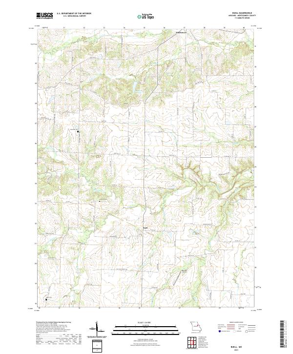
2021 Map of Buell
USGS Topo · Published 2021About this map
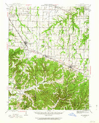
Middletown and Buell anchor this agricultural landscape in northeast Missouri, where a complex network of streams defines the local topography. The area is heavily drained by several major watercourses, including the westward-flowing Elkhorn Cr and the northern reaches of Coon Cr. The presence of several family or community burial sites, such as Hopewell Cem, Mcquoid Cem, and White Cem, provides significant value for genealogists tracing early settlement patterns in Montgomery County.
Find a feature on this map
80 named features on this map. Tap any name to fly to it.
Don’t see what you’re looking for? This feature index may not catch every label — zoom into the map to look around manually.
Map Details
Editions of this 2021 Buell Map
This is the sole edition of this map. No revisions or reprints were ever made.
Other maps of this area

1890 · Louisiana
USGS Topo · 1:125,000

1890 · Mexico
USGS Topo · 1:125,000

1890 · Hermann
USGS Topo · 1:125,000

1890 · Fulton
USGS Topo · 1:125,000
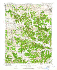
1940 · Montgomery City
USGS Topo · 1:62,500
1942 · Montgomery City
USGS Topo · 1:62,500
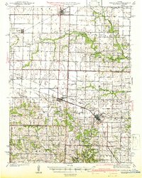
1942 · Wellsville
USGS Topo · 1:62,500
1942 · New Florence
USGS Topo · 1:62,500
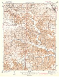
1942 · Bellflower
USGS Topo · 1:62,500

1945 · Bellflower
USGS Topo · 1:62,500