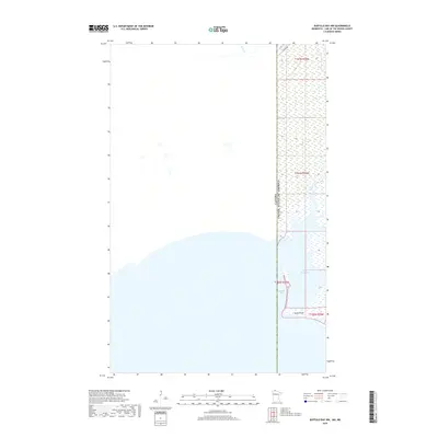
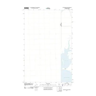
2019 Map of Buffalo Bay NW
USGS Topo · Published 2019About this map
The Canada-United States border bisects this remote shoreline environment where the northwest corner of Minnesota meets the waters of Manitoba. This northern edge of the Lake of the Woods region is defined by the shallow reaches of Buffalo Bay and the inlet of Sand Point Bay, separated by the low protrusion of Stony Point. The landscape is characterized by extensive wetlands and aquatic vegetation, with the seasonal Winter Rd providing one of the few overland access routes through the marshy terrain of the Northwest Angle. Small waterways like Stony Creek drain into the bay, illustrating the intricate shoreline that has historically challenged travelers and surveyors alike in this international boundary zone.
Find a feature on this map
10 named features on this map. Tap any name to fly to it.
Don’t see what you’re looking for? This feature index may not catch every label — zoom into the map to look around manually.
Map Details
Editions of this 2019 Buffalo Bay NW Map
This is the sole edition of this map. No revisions or reprints were ever made.
Other maps of this area

1918 · Buffalo Bay
USGS Topo · 1:62,500

1963 · Kenora
USGS Topo · 1:250,000
1967 · Buffalo Bay NW
USGS Topo · 1:24,000
1967 · Buffalo Bay NE
USGS Topo · 1:24,000
1967 · Angle Inlet
USGS Topo · 1:24,000
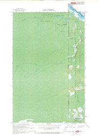
1967 · Angle Inlet SW
USGS Topo · 1:24,000
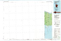
1985 · Angle Inlet
USGS Topo · 1:100,000
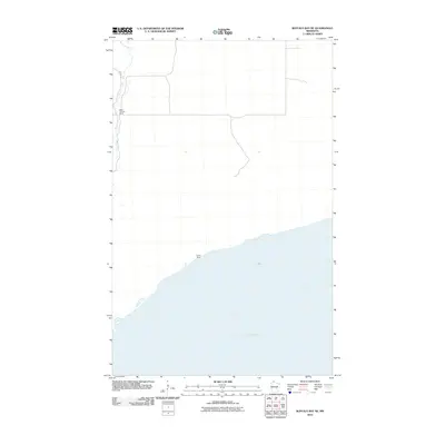
2010 · Buffalo Bay NE
USGS Topo · 1:24,000
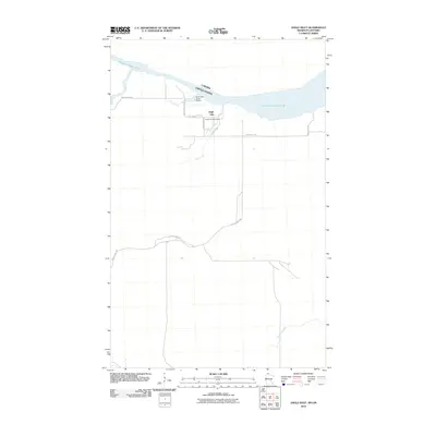
2010 · Angle Inlet
USGS Topo · 1:24,000
2011 · Buffalo Bay NW
USGS Topo · 1:24,000