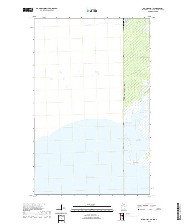
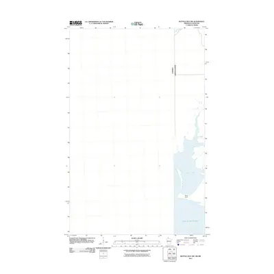
2022 Map of Buffalo Bay NW
USGS Topo · Published 2022About this map
Buffalo Bay and the surrounding shoreline of Lake of the Woods define this unique borderland sheet. Situated along the international boundary between the United States and Canada, the landscape is dominated by extensive marshlands and the tidal-like movements of the big lake. The southern reach of the bay is marked by Stony Point, a prominent terrestrial feature separating Buffalo Bay from Sand Point Bay.
Find a feature on this map
10 named features on this map. Tap any name to fly to it.
Don’t see what you’re looking for? This feature index may not catch every label — zoom into the map to look around manually.
Map Details
Editions of this 2022 Buffalo Bay NW Map
This is the sole edition of this map. No revisions or reprints were ever made.
Other maps of this area

1918 · Buffalo Bay
USGS Topo · 1:62,500

1963 · Kenora
USGS Topo · 1:250,000
1967 · Buffalo Bay NW
USGS Topo · 1:24,000
1967 · Buffalo Bay NE
USGS Topo · 1:24,000
1967 · Angle Inlet
USGS Topo · 1:24,000
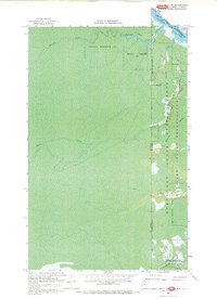
1967 · Angle Inlet SW
USGS Topo · 1:24,000
1985 · Angle Inlet
USGS Topo · 1:100,000
2010 · Buffalo Bay NE
USGS Topo · 1:24,000
2010 · Angle Inlet
USGS Topo · 1:24,000
2011 · Buffalo Bay NW
USGS Topo · 1:24,000