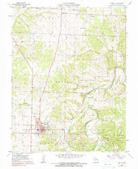
1961 Map of Buffalo
USGS Topo · Published 1962About this map
The Courthouse in Buffalo serves as the focal point of this Ozark plateau landscape, which was photo-revised at the start of the 1960s. The town's local infrastructure is clearly documented, from the Buffalo Airport to the Drive-in Theater and the Sewage Disposal facility. Beyond the developed grid of Buffalo, the terrain transitions into a patchwork of rural townships like North Benton and Grant, where small communities and crossroads such as Pumpkin Center and Wood Hill remain active centers of rural life.
Find a feature on this map
27 named features on this map. Tap any name to fly to it.
Don’t see what you’re looking for? This feature index may not catch every label — zoom into the map to look around manually.
Map Details
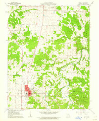
Editions of this 1961 Buffalo Map
2 editions found
Other maps of this area

1884 · Bolivar
USGS Topo · 1:125,000

1892 · Bolivar
USGS Topo · 1:125,000

1934 · Macks Creek
USGS Topo · 1:48,000

1939 · Macks Creek
USGS Topo · 1:62,500

1939 · Long Lane
USGS Topo · 1:62,500

1942 · Long Lane
USGS Topo · 1:62,500

1950 · Buffalo NW
USGS Topo · 1:24,000

1950 · Urbana
USGS Topo · 1:24,000

1951 · Buffalo NW
USGS Topo · 1:24,000

1951 · Urbana
USGS Topo · 1:24,000