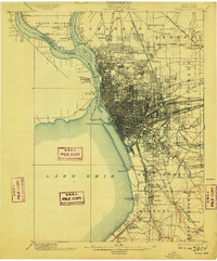
1901 Map of Buffalo
USGS Topo · Published 1909About this map
The city of Buffalo and its surrounding rail-heavy industrial corridors are documented here following surveys in 1893 and 1900. The dense grid of the urban core fans out into a complex web of railroads, including the Belt Line and the Lehigh Valley R. R., which defined the region's economy at the turn of the century. Along the waterfront, the Niagara River is flanked by the Erie Canal and several islands such as Strawberry Id. and Squaw Id., while the Buffalo Breakwater L. H. stands watch over the harbor entrance. Across the international boundary, the Fort Erie (Ruins) mark the Canadian shore, connected by the International Bridge. Smaller settlements like Williamsville, Kenmore, and Orchard Park appear as distinct villages before the mid-century sprawl unified the metropolitan area, while rural land is dotted with family-named landmarks and the extensive Pine Hill Cemetery.
Find a feature on this map
83 named features on this map. Tap any name to fly to it.
Don’t see what you’re looking for? This feature index may not catch every label — zoom into the map to look around manually.
Map Details
Editions of this 1901 Buffalo Map
12 editions found

1901 edition
16.5 x 19.7 inches
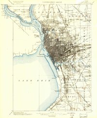
1901 edition
15.99 x 19.39 inches
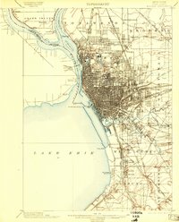
1903 edition
15.49 x 19.18 inches
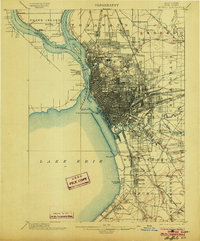
1903 edition
16.5 x 19.9 inches
1909 edition
16.5 x 19.9 inches
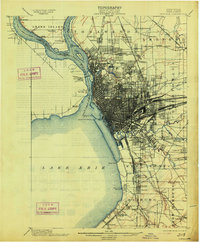
1913 edition
16.5 x 20 inches
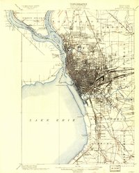
1913 edition
15.91 x 19.69 inches
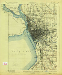
1925 edition
16.4 x 19.9 inches
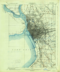
1931 edition
16.6 x 20 inches
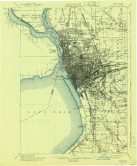
1940 edition
16.5 x 19.9 inches
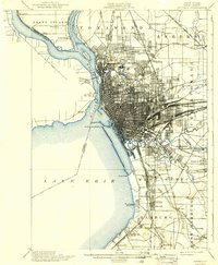
1940 edition
15.99 x 19.41 inches
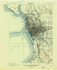
1947 edition
17.1 x 20.9 inches
Other maps of this area

1894 · Buffalo
USGS Topo · 1:62,500

1894 · Niagara Falls
USGS Topo · 1:62,500

1896 · Niagara Falls
USGS Topo · 1:62,500

1897 · Tonawanda
USGS Topo · 1:62,500

1897 · Lockport
USGS Topo · 1:62,500

1899 · Silver Creek
USGS Topo · 1:62,500

1899 · Niagara
USGS Topo · 1:125,000

1900 · Tonawanda
USGS Topo · 1:62,500

1900 · Niagara Falls
USGS Topo · 1:62,500
1901 · Buffalo
USGS Topo · 1:62,500