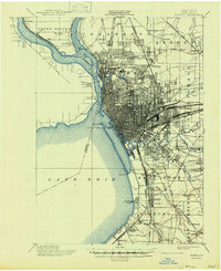
1901 Map of Buffalo
USGS Topo · Published 1947About this map
The dense industrial and rail-heavy landscape of Buffalo dominates this turn-of-the-century survey, revealing a city at the height of its power as a transport hub. The Niagara River and Erie Canal serve as the western spine of the region, flanked by the sprawling infrastructure of the Belt Line and the New York Central and Hudson River R. R.. Beyond the urban core, residential developments like Oakland Homestead and Ellwood Park signal the era's suburban expansion into Amherst and Tonawanda.
Find a feature on this map
82 named features on this map. Tap any name to fly to it.
Don’t see what you’re looking for? This feature index may not catch every label — zoom into the map to look around manually.
Map Details
Editions of this 1901 Buffalo Map
12 editions found

1901 edition
16.5 x 19.7 inches
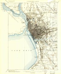
1901 edition
15.99 x 19.39 inches
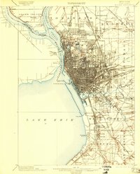
1903 edition
15.49 x 19.18 inches
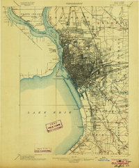
1903 edition
16.5 x 19.9 inches
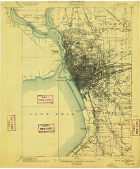
1909 edition
16.5 x 19.9 inches
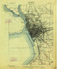
1913 edition
16.5 x 20 inches
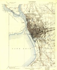
1913 edition
15.91 x 19.69 inches
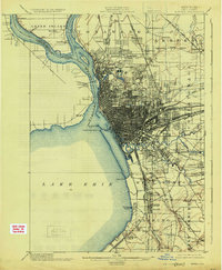
1925 edition
16.4 x 19.9 inches
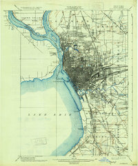
1931 edition
16.6 x 20 inches
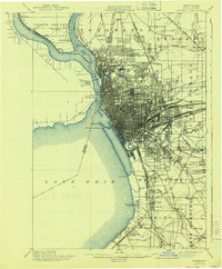
1940 edition
16.5 x 19.9 inches
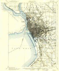
1940 edition
15.99 x 19.41 inches
1947 edition
17.1 x 20.9 inches
Other maps of this area

1894 · Buffalo
USGS Topo · 1:62,500

1894 · Niagara Falls
USGS Topo · 1:62,500

1896 · Niagara Falls
USGS Topo · 1:62,500

1897 · Tonawanda
USGS Topo · 1:62,500

1897 · Lockport
USGS Topo · 1:62,500

1899 · Silver Creek
USGS Topo · 1:62,500

1899 · Niagara
USGS Topo · 1:125,000

1900 · Tonawanda
USGS Topo · 1:62,500

1900 · Niagara Falls
USGS Topo · 1:62,500
1901 · Buffalo
USGS Topo · 1:62,500