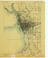
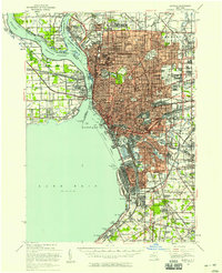
1901 Map of Buffalo
USGS Topo · Published 1901About this map
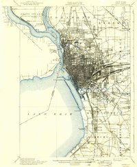
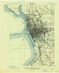
The industrial and maritime pulse of Western New York is visible in this survey, showing Buffalo at a moment of intense rail and water commerce. The city's dense gridiron layout is hemmed in by the Erie Canal and the Niagara River, while a massive network of steel defines its eastern borders, including the Belt Line and numerous lines of the New York Central and Hudson River R.R. Across the water, the United States-Canada boundary splits the river, with the International Bridge providing a vital link to Fort Erie and its nearby ruins.
Find a feature on this map
81 named features on this map. Tap any name to fly to it.
Don’t see what you’re looking for? This feature index may not catch every label — zoom into the map to look around manually.
Map Details
Editions of this 1901 Buffalo Map
12 editions found
1901 edition
16.5 x 19.7 inches
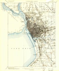
1901 edition
15.99 x 19.39 inches
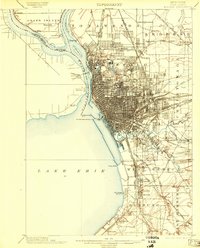
1903 edition
15.49 x 19.18 inches
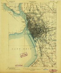
1903 edition
16.5 x 19.9 inches
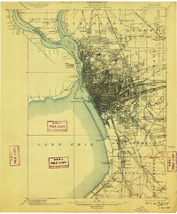
1909 edition
16.5 x 19.9 inches
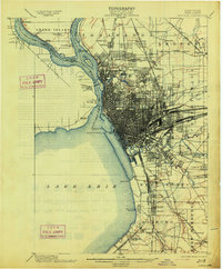
1913 edition
16.5 x 20 inches
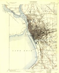
1913 edition
15.91 x 19.69 inches
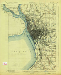
1925 edition
16.4 x 19.9 inches
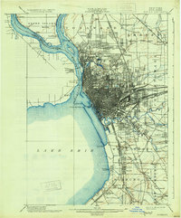
1931 edition
16.6 x 20 inches
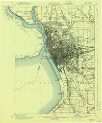
1940 edition
16.5 x 19.9 inches
1940 edition
15.99 x 19.41 inches
1947 edition
17.1 x 20.9 inches
Historical Maps of Buffalo Through Time
8 maps found