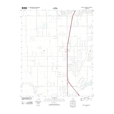
2010 Map of Buffalo Stadium
USGS Topo · Published 2010About this map
Palo Duro Creek winds through the southern portion of this landscape, feeding into the Palo Duro Club Lake as the terrain transitions from suburban development to open Texas plains. The map illustrates a period of expansion south of Amarillo, where a grid of established roads like S Coulter St and Soncy Rd intersects with newer residential corridors. Central to the area is the Memory Gardens cemetery, positioned near the primary north-south artery of Canyon Dr. Small-scale aviation and recreational land use are evident through the presence of Gartrell Field and the Buffalo Airport in the east. Hydrological features such as Frog Lake, supported by Frog Dam, and the seasonal Spring Draw suggest the careful management of water resources in this High Plains environment.
Find a feature on this map
48 named features on this map. Tap any name to fly to it.
Don’t see what you’re looking for? This feature index may not catch every label — zoom into the map to look around manually.
Map Details
Editions of this 2010 Buffalo Stadium Map
This is the sole edition of this map. No revisions or reprints were ever made.
Other maps of this area

1954 · Tucumcari
USGS Topo · 1:250,000

1954 · Amarillo
USGS Topo · 1:250,000

1954 · Plainview
USGS Topo · 1:250,000

1954 · Clovis
USGS Topo · 1:250,000

1956 · Amarillo East
USGS Topo · 1:24,000

1958 · Clovis
USGS Topo · 1:250,000

1958 · Amarillo
USGS Topo · 1:250,000

1958 · Tucumcari
USGS Topo · 1:250,000

1958 · Plainview
USGS Topo · 1:250,000

1960 · Canyon
USGS Topo · 1:62,500