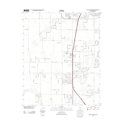
2012 Map of Buffalo Stadium
USGS Topo · Published 2012About this map
Memory Gardens and a dense network of suburban residential streets define the eastern portion of this West Texas landscape, documenting the expansion of southern Amarillo in the early 21st century. The map highlights a transition from residential developments like those found along Ventura Dr and Achieve Dr to the more open airfield and ranch lands to the west. Aviation history is present at both Maples Field Airport and Buffalo Airport, while the southern reaches are shaped by the natural drainage of Palo Duro Cr and Spring Draw. Water features such as Frog Lake and Palo Duro Club Lake provide distinctive landmarks among the section-line roads and developing neighborhoods.
Find a feature on this map
190 named features on this map. Tap any name to fly to it.
Don’t see what you’re looking for? This feature index may not catch every label — zoom into the map to look around manually.
Map Details
Editions of this 2012 Buffalo Stadium Map
This is the sole edition of this map. No revisions or reprints were ever made.
Other maps of this area

1954 · Tucumcari
USGS Topo · 1:250,000

1954 · Amarillo
USGS Topo · 1:250,000

1954 · Plainview
USGS Topo · 1:250,000

1954 · Clovis
USGS Topo · 1:250,000

1956 · Amarillo East
USGS Topo · 1:24,000

1958 · Clovis
USGS Topo · 1:250,000

1958 · Amarillo
USGS Topo · 1:250,000

1958 · Tucumcari
USGS Topo · 1:250,000

1958 · Plainview
USGS Topo · 1:250,000

1960 · Canyon
USGS Topo · 1:62,500