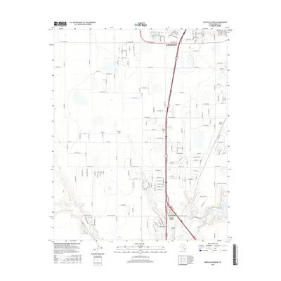
2016 Map of Buffalo Stadium
USGS Topo · Published 2016About this map
Canyon and southern Amarillo anchor this 2016 survey, documenting the modern suburban and recreational geography of the Texas Panhandle. The landscape is defined by the winding course of Palo Duro Cr, which feeds into Palo Duro Club Lake at the southeastern corner. This drainage system provides a stark contrast to the surrounding high plains, where residential developments like those along W Rockwell Rd and FM 2219 are interspersed with aviation and sports landmarks. Significant local sites include Buffalo Stadium and the Buffalo Airport, alongside quiet markers of local history such as Memory Gardens Cem and the T-Anchor Ranch Cem. The presence of Maples Field and numerous named trails like Ute Trl reflects the region's mix of private aviation and rural-residential expansion during the mid-2010s.
Find a feature on this map
64 named features on this map. Tap any name to fly to it.
Don’t see what you’re looking for? This feature index may not catch every label — zoom into the map to look around manually.
Map Details
Editions of this 2016 Buffalo Stadium Map
This is the sole edition of this map. No revisions or reprints were ever made.
Other maps of this area

1954 · Tucumcari
USGS Topo · 1:250,000

1954 · Amarillo
USGS Topo · 1:250,000

1954 · Plainview
USGS Topo · 1:250,000

1954 · Clovis
USGS Topo · 1:250,000

1956 · Amarillo East
USGS Topo · 1:24,000

1958 · Clovis
USGS Topo · 1:250,000

1958 · Amarillo
USGS Topo · 1:250,000

1958 · Tucumcari
USGS Topo · 1:250,000

1958 · Plainview
USGS Topo · 1:250,000

1960 · Canyon
USGS Topo · 1:62,500