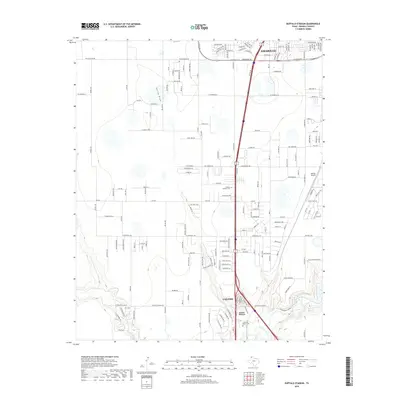
2019 Map of Buffalo Stadium
USGS Topo · Published 2019About this map
Amarillo and Canyon anchor this High Plains corridor, where the urbanization of the Texas Panhandle meets the rugged descent into the canyonlands. The landscape is defined by the sharp transition from the level plateau of the Llano Estacado, marked by ephemeral features like Spring Draw and Frog Lake, to the deeply eroded drainage of Palo Duro Creek. This 2019 survey documents the extensive suburban and industrial growth along Canyon Drive, including landmarks like Buffalo Stadium and Memory Gardens Cemetery. The map captures a modern snapshot of the region's transport network, from the busy arterial of W Loop 335 S to the more rural sections of FM 2219 and W Rockwell Road, reflecting the ongoing expansion between these two regional hubs.
Find a feature on this map
27 named features on this map. Tap any name to fly to it.
Don’t see what you’re looking for? This feature index may not catch every label — zoom into the map to look around manually.
Map Details
Editions of this 2019 Buffalo Stadium Map
This is the sole edition of this map. No revisions or reprints were ever made.
Other maps of this area

1954 · Tucumcari
USGS Topo · 1:250,000

1954 · Amarillo
USGS Topo · 1:250,000

1954 · Plainview
USGS Topo · 1:250,000

1954 · Clovis
USGS Topo · 1:250,000

1956 · Amarillo East
USGS Topo · 1:24,000

1958 · Clovis
USGS Topo · 1:250,000

1958 · Amarillo
USGS Topo · 1:250,000

1958 · Tucumcari
USGS Topo · 1:250,000

1958 · Plainview
USGS Topo · 1:250,000

1960 · Canyon
USGS Topo · 1:62,500