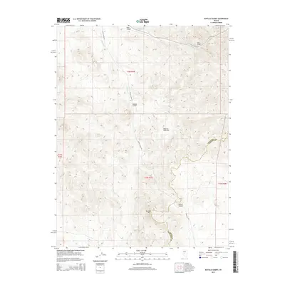
2015 Map of Buffalo Summit
USGS Topo · Published 2015About this map
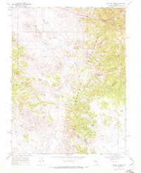
The Desatoya Mountains dominate this high-altitude landscape along the border of Churchill and Lander counties. In the southern portion of the range, Buffalo Mtn and the namesake Buffalo Summit mark the highest points of the terrain. The map details a complex network of drainages and seasonal watercourses, including Buffalo Cr and Road Canyon Cr, which have carved deep features into the mountain range such as Skull Canyon and Road Canyon. Access to this remote region is defined by unpaved tracks like Buffalo Canyon Rd and the evocatively named Snake Bite Rd. This 2015 survey provides a modern record of land divisions and topographical features in a sparsely populated section of the Great Basin, capturing the natural hydrology and landform nomenclature used by local ranchers and land managers.
Find a feature on this map
15 named features on this map. Tap any name to fly to it.
Don’t see what you’re looking for? This feature index may not catch every label — zoom into the map to look around manually.
Map Details
Editions of this 2015 Buffalo Summit Map
This is the sole edition of this map. No revisions or reprints were ever made.
Other maps of this area

1955 · Millett
USGS Topo · 1:250,000

1956 · South Shoshone Peak
USGS Topo · 1:62,500

1959 · Millett
USGS Topo · 1:250,000
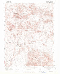
1969 · Quartz Mtn
USGS Topo · 1:24,000
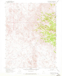
1969 · Quartzite Mtn NW
USGS Topo · 1:24,000

1969 · Desatoya Peak
USGS Topo · 1:24,000

1969 · Carroll Summit
USGS Topo · 1:24,000

1969 · Eastgate
USGS Topo · 1:24,000
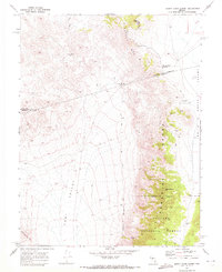
1969 · Burnt Cabin Summit
USGS Topo · 1:24,000
1969 · Buffalo Summit
USGS Topo · 1:24,000