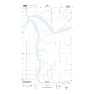
2011 Map of Buford
USGS Topo · Published 2011About this map
The confluence of the Missouri River and the Yellowstone River anchors this landscape in Williams County, North Dakota. This 2011 survey captures the historic Buford area, where these major waterways meet and diverge, shaping the agricultural and ranching patterns of the Northern Plains. The riverbanks are dotted with legacy family operations including the E Brenna Ranch and Anderson Ranch, illustrating the sparse but enduring settlement of this borderland region. Low-lying water features such as Audubon Lake, Nohly Lake, and the winding Briar Creek intersect the grid of rural roads like 151st Ave NW, reflecting the hydrology of the Missouri river valley before it crosses into Montana. The map serves as a contemporary record of a geography defined by the movement of water and the resilience of high-plains ranching.
Find a feature on this map
18 named features on this map. Tap any name to fly to it.
Don’t see what you’re looking for? This feature index may not catch every label — zoom into the map to look around manually.
Map Details
Editions of this 2011 Buford Map
This is the sole edition of this map. No revisions or reprints were ever made.
Other maps of this area

1909 · Glendive
USGS Topo · 1:250,000

1953 · Williston
USGS Topo · 1:250,000

1953 · Watford City
USGS Topo · 1:250,000

1954 · Glendive
USGS Topo · 1:250,000

1954 · Wolf Point
USGS Topo · 1:250,000

1957 · Glendive
USGS Topo · 1:250,000

1957 · Williston
USGS Topo · 1:250,000

1957 · Watford City
USGS Topo · 1:250,000

1958 · Wolf Point
USGS Topo · 1:250,000

1958 · Glendive
USGS Topo · 1:250,000