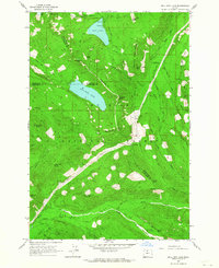
1962 Map of Bull Run Lake
USGS Topo · Published 1964About this map
Bull Run Lake and Lost Lake anchor this high-elevation wilderness within the Mount Hood National Forest during the early 1960s. The landscape is defined by the steep drainage basins of the Sandy River, West Fork Hood River, and the headwaters of the Bull Run River. A network of early forest service infrastructure is evident, including the Ranger Station near the north shore and the Upper Sandy Guard Station to the south. Hikers and early conservationists can trace the established Skyline Trail and Timberline Trail as they navigate prominent ridges like Yocum Ridge and Butcher Knife Ridge. The map documents a rugged era of land management, marked by locations like the Bals Mtn Shelter and the expansive glacial outwash of Old Maid Flat, highlighting the importance of the area for both water resource protection and mountain recreation.
Find a feature on this map
53 named features on this map. Tap any name to fly to it.
Don’t see what you’re looking for? This feature index may not catch every label — zoom into the map to look around manually.
Map Details
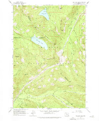
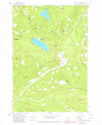
Editions of this 1962 Bull Run Lake Map
3 editions found
Other maps of this area

1924 · Mount Hood
USGS Topo · 1:125,000

1926 · Hood River
USGS Topo · 1:125,000

1927 · Mount Hood
USGS Topo · 1:125,000

1929 · Hood River
USGS Topo · 1:125,000

1953 · The Dalles
USGS Topo · 1:250,000

1956 · The Dalles
USGS Topo · 1:250,000

1957 · The Dalles
USGS Topo · 1:250,000

1957 · Bonneville Dam
USGS Topo · 1:62,500

1957 · Hood River
USGS Topo · 1:62,500
1962 · Hickman Butte
USGS Topo · 1:24,000