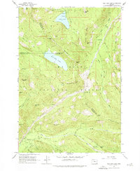
1962 Map of Bull Run Lake
USGS Topo · Published 1974About this map
Mount Hood National Forest occupies this high-elevation landscape, where the confluence of Clackamas, Multnomah, and Hood River counties meets along steep ridgelines. The map is anchored by the deep reservoirs of Bull Run Lake and Lost Lake, critical water sources for the region. Civil infrastructure is minimal, consisting of remote outposts like the Upper Sandy Guard Station, the Bald Mtn Shelter, and the Ranger Sta near the northern shore of Lost Lake.
Find a feature on this map
60 named features on this map. Tap any name to fly to it.
Don’t see what you’re looking for? This feature index may not catch every label — zoom into the map to look around manually.
Map Details
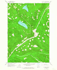
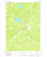
Editions of this 1962 Bull Run Lake Map
3 editions found
Other maps of this area

1924 · Mount Hood
USGS Topo · 1:125,000

1926 · Hood River
USGS Topo · 1:125,000

1927 · Mount Hood
USGS Topo · 1:125,000

1929 · Hood River
USGS Topo · 1:125,000

1953 · The Dalles
USGS Topo · 1:250,000

1956 · The Dalles
USGS Topo · 1:250,000

1957 · The Dalles
USGS Topo · 1:250,000

1957 · Bonneville Dam
USGS Topo · 1:62,500

1957 · Hood River
USGS Topo · 1:62,500
1962 · Hickman Butte
USGS Topo · 1:24,000