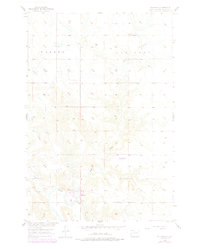
1956 Map of Bullhead
USGS Topo · Published 1978About this map
Bullhead serves as a central community within the Standing Rock Indian Reservation during the mid-1950s, situated along the northern bank of the Grand River. The landscape is characterized by a series of drainages, including Dog Creek, Rock Creek, and Stink Creek, which carve through the terrain toward the river valley. The map reflects a period of rural land use and systematic surveying by the Geological Survey for the Missouri River Basin development program.
Find a feature on this map
9 named features on this map. Tap any name to fly to it.
Don’t see what you’re looking for? This feature index may not catch every label — zoom into the map to look around manually.
Map Details
Editions of this 1956 Bullhead Map
3 editions found
Other maps of this area

1953 · McIntosh
USGS Topo · 1:250,000

1956 · Bullhead
USGS Topo · 1:24,000

1956 · Little Eagle NW
USGS Topo · 1:24,000

1956 · Miscol
USGS Topo · 1:24,000

1956 · Bullhead SW
USGS Topo · 1:24,000

1956 · Miscol NE
USGS Topo · 1:24,000

1958 · McIntosh
USGS Topo · 1:250,000

1971 · McLaughlin SW
USGS Topo · 1:24,000
1971 · Maple Leaf
USGS Topo · 1:24,000

1972 · Walker
USGS Topo · 1:24,000