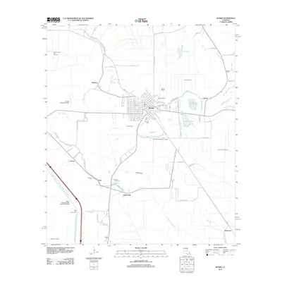
2012 Map of Bunkie
USGS Topo · Published 2012About this map
Bunkie serves as the central hub of this agricultural and industrial landscape in Avoyelles Parish. The town's layout is defined by a grid of streets such as W Oak St and Lake St, surrounded by a network of waterways including Bayou Boeuf and the Turner Canal. Aviation history is visible through three distinct facilities: Bunkie Municipal Airport, Mixon Airport, and the Bunkie Flying Service Airport.
Find a feature on this map
69 named features on this map. Tap any name to fly to it.
Don’t see what you’re looking for? This feature index may not catch every label — zoom into the map to look around manually.
Map Details
Editions of this 2012 Bunkie Map
This is the sole edition of this map. No revisions or reprints were ever made.
Other maps of this area

1935 · Turkey Creek
USGS Topo · 1:62,500

1935 · Lecompte
USGS Topo · 1:62,500

1940 · Marksville
USGS Topo · 1:62,500

1948 · Bunkie
USGS Topo · 1:62,500

1949 · Turkey Creek
USGS Topo · 1:62,500

1952 · Lake Charles
USGS Topo · 1:250,000

1953 · Alexandria
USGS Topo · 1:250,000

1954 · Lake Charles
USGS Topo · 1:250,000

1955 · Alexandria
USGS Topo · 1:250,000

1957 · Lecompte
USGS Topo · 1:62,500