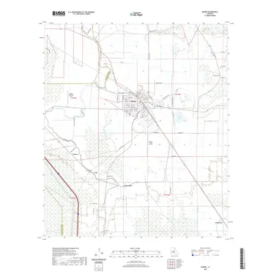
2020 Map of Bunkie
USGS Topo · Published 2020About this map
Bunkie serves as the central hub of this central Louisiana landscape, where the street grid of the town core meets a complex network of waterways and agricultural drainage. The area is defined by its relationship with Bayou Boeuf, which meanders through the terrain alongside the engineered Bayou Boeuf-Cocodrie Diversion Channel. Small settlements like Eola, Holmesville, and Carboco dot the surrounding countryside, connected by local routes such as Goux Rd and Shirley Rd. Aviation history is visible through multiple facilities, including the Bunkie Municipal Airport, Tebow Airport, and Bunkie Flying Service, reflecting the region's long-standing connection to crop-dusting and local transport. Genealogists will find several burial sites preserved across the landscape, including the Hatfield Cem and Fogleman Cem, marking the locations of early parish families.
Find a feature on this map
85 named features on this map. Tap any name to fly to it.
Don’t see what you’re looking for? This feature index may not catch every label — zoom into the map to look around manually.
Map Details
Editions of this 2020 Bunkie Map
This is the sole edition of this map. No revisions or reprints were ever made.
Other maps of this area

1935 · Turkey Creek
USGS Topo · 1:62,500

1935 · Lecompte
USGS Topo · 1:62,500

1940 · Marksville
USGS Topo · 1:62,500

1948 · Bunkie
USGS Topo · 1:62,500

1949 · Turkey Creek
USGS Topo · 1:62,500

1952 · Lake Charles
USGS Topo · 1:250,000

1953 · Alexandria
USGS Topo · 1:250,000

1954 · Lake Charles
USGS Topo · 1:250,000

1955 · Alexandria
USGS Topo · 1:250,000

1957 · Lecompte
USGS Topo · 1:62,500