Loading...
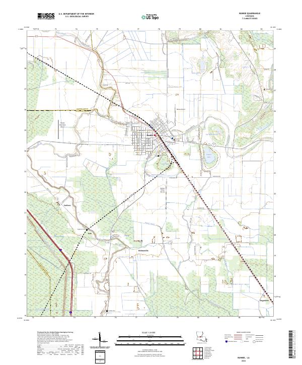
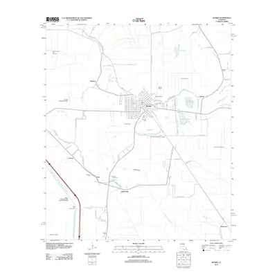
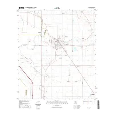
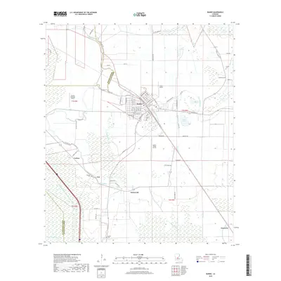
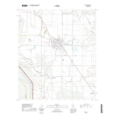
Loading map...2024 Map of Bunkie
USGS Topo · Published 2024About this map
Bunkie serves as the central hub of this agricultural landscape where Rapides Parish, Avoyelles Parish, and Evangeline Parish meet. The region is defined by an intricate network of waterways, including the Bayou Boeuf-Cocodrie Diversion Channel and the winding course of Bayou Boeuf. These bayous, along with man-made features like the Turner Canal, illustrate the long-standing efforts to manage water across the low-lying terrain.
Find a feature on this map
94 named features on this map. Tap any name to fly to it.
Don’t see what you’re looking for? This feature index may not catch every label — zoom into the map to look around manually.
Map Details
Date Portrayed2024
Date Published2024
PublisherU.S. Geological Survey
Map TypeTopographic
Scale1:24,000
Physical Dimensions24 x 29 inches
Editions of this 2024 Bunkie Map
This is the sole edition of this map. No revisions or reprints were ever made.
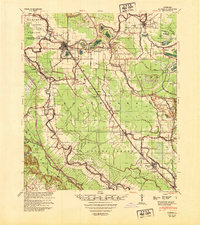
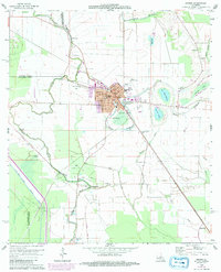
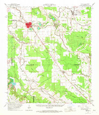
Historical Maps of Bunkie Through Time
8 maps found
Featured Locations
Source Details
SourceU.S. Geological Survey
CopyrightPublic Domain